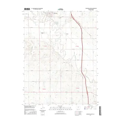
2015 Map of Minneapolis South
USGS Topo · Published 2015About this map
Solomon River meanders south through the heart of Ottawa County, shaping the agricultural landscape around the city of Minneapolis. The river's broad valley is fed by a network of tributaries including Pipe Creek, Lindsey Cr, and Salt Cr, creating a rich alluvial plain. Just north of the town center, Highland Cem overlooks the river valley, while the Minneapolis City County Airport occupies the flat terrain to the west.
Find a feature on this map
34 named features on this map. Tap any name to fly to it.
Don’t see what you’re looking for? This feature index may not catch every label — zoom into the map to look around manually.
Map Details
Editions of this 2015 Minneapolis South Map
This is the sole edition of this map. No revisions or reprints were ever made.
Other maps of this area

1892 · Salina
USGS Topo · 1:125,000

1892 · Minneapolis
USGS Topo · 1:125,000

1942 · Salina
USGS Topo · 1:125,000

1955 · Trenton
USGS Topo · 1:24,000

1955 · Culver
USGS Topo · 1:24,000

1955 · New Cambria
USGS Topo · 1:24,000

1955 · Manhattan
USGS Topo · 1:250,000

1955 · Hutchinson
USGS Topo · 1:250,000

1956 · Manhattan
USGS Topo · 1:250,000

1957 · Manhattan
USGS Topo · 1:250,000