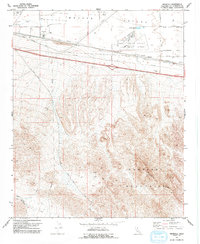
1971 Map of Minneola
USGS Topo · Published 1973About this map
Mojave Valley and the Mojave River define the northern landscape of this San Bernardino County survey, where the desert floor meets the rising peaks of the Newberry Mountains Ridge. The settlement of Minneola sits at a crossroads of mid-century infrastructure, marked by the iconic National Trails Highway and the Barstow Daggett Airport. Industrial activity is evident throughout the terrain, from the Azucar Mine tucked into the southern slopes to the Powerplant and various Borrow Pits near the riverbed.
Find a feature on this map
20 named features on this map. Tap any name to fly to it.
Don’t see what you’re looking for? This feature index may not catch every label — zoom into the map to look around manually.
Map Details
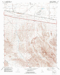
Editions of this 1971 Minneola Map
2 editions found
Other maps of this area

1953 · San Bernardino
USGS Topo · 1:250,000

1953 · Yermo
USGS Topo · 1:24,000
1953 · Nebo
USGS Topo · 1:24,000

1955 · Newberry
USGS Topo · 1:62,500

1955 · Ord Mountains
USGS Topo · 1:62,500

1955 · Rodman Mountains
USGS Topo · 1:62,500

1956 · San Bernardino
USGS Topo · 1:250,000

1956 · Daggett
USGS Topo · 1:62,500

1957 · San Bernardino
USGS Topo · 1:250,000

1958 · San Bernardino
USGS Topo · 1:250,000