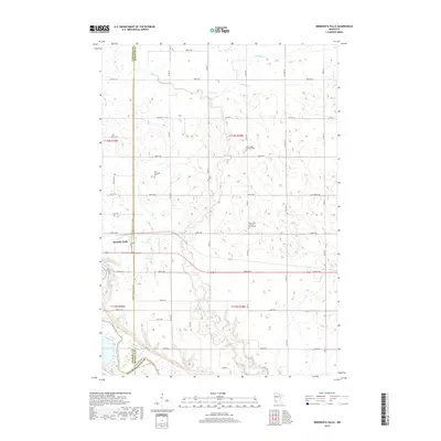
2019 Map of Minnesota Falls
USGS Topo · Published 2019About this map
The Minnesota River snakes along the southern edge of this Minnesota landscape, marking the tri-county junction of Chippewa, Renville, and Yellow Medicine counties. The eastern reaches of Granite Falls occupy the western border, while the surrounding prairie is defined by the winding paths of Hawk Cr, Chetomba Cr, and Spring Cr. For those tracing local history, several distinct burial grounds are preserved on the land, including the Vestre Sogn Lutheran Cem, the Hawk Creek Lutheran Church Cem, and the First Township Cem. The rectilinear grid of rural roads like 880th Ave and Co Hwy 11 organizes the agricultural terrain, illustrating the persistent 19th-century township-and-range surveying system as it serves modern commerce.
Find a feature on this map
37 named features on this map. Tap any name to fly to it.
Don’t see what you’re looking for? This feature index may not catch every label — zoom into the map to look around manually.
Map Details
Editions of this 2019 Minnesota Falls Map
This is the sole edition of this map. No revisions or reprints were ever made.
Other maps of this area

1953 · New Ulm
USGS Topo · 1:250,000

1957 · New Ulm
USGS Topo · 1:250,000

1958 · New Ulm
USGS Topo · 1:250,000

1962 · Wood Lake
USGS Topo · 1:24,000

1965 · Lone Tree Lake
USGS Topo · 1:24,000

1965 · Asbury
USGS Topo · 1:24,000

1965 · Iverson Lake
USGS Topo · 1:24,000
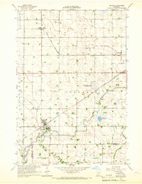
1965 · Maynard
USGS Topo · 1:24,000
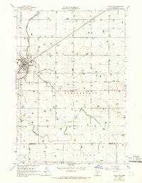
1965 · Clara City
USGS Topo · 1:24,000

1965 · Sacred Heart
USGS Topo · 1:24,000
Featured Places
- Granite Falls, MN
- Minnesota Falls, MN
- Renville County, MN
- Yellow Medicine County, MN
- Chippewa County, MN