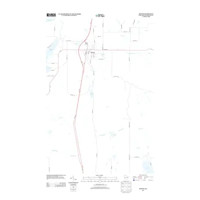
2013 Map of Minong
USGS Topo · Published 2013About this map
Minong serves as the central hub of this northern Wisconsin landscape, situated at the intersection of modern transit corridors and historical routes like Old 53 Rd and Railroad St. The settlement's grid is bounded by a diverse aquatic network, ranging from the prominent Gull Lake in the southeast to the winding course of Stuntz Brook and Shell Cr. These water bodies, including Bond Lake and Lakeside Lake, define the area's geography and history, suggesting a region shaped by both recreational appeal and the essential water resources required for early development.
Find a feature on this map
45 named features on this map. Tap any name to fly to it.
Don’t see what you’re looking for? This feature index may not catch every label — zoom into the map to look around manually.
Map Details
Editions of this 2013 Minong Map
This is the sole edition of this map. No revisions or reprints were ever made.
Other maps of this area

1947 · Chittamo
USGS Topo · 1:48,000

1947 · Minong
USGS Topo · 1:48,000

1948 · Spooner
USGS Topo · 1:48,000

1948 · Stone Lake
USGS Topo · 1:48,000

1949 · Chittamo
USGS Topo · 1:48,000

1949 · Minong
USGS Topo · 1:48,000

1949 · Spooner
USGS Topo · 1:48,000

1950 · Stone Lake
USGS Topo · 1:48,000

1953 · Ashland
USGS Topo · 1:250,000

1953 · Rice Lake
USGS Topo · 1:250,000