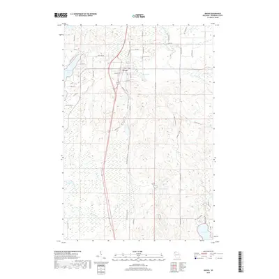
2018 Map of Minong
USGS Topo · Published 2018About this map
Minong serves as the central hub for this portion of Washburn County, showing a concentration of local street names such as Houston St and Walnut St that define the village core. North of the settlement, Greenwood Cem sits along Greenwood Rd, providing a specific point of interest for genealogical research. The landscape is heavily defined by its glacial hydrology, with Pokegama Lake to the west and Bond Lake to the east of the primary transportation corridor.
Find a feature on this map
50 named features on this map. Tap any name to fly to it.
Don’t see what you’re looking for? This feature index may not catch every label — zoom into the map to look around manually.
Map Details
Editions of this 2018 Minong Map
This is the sole edition of this map. No revisions or reprints were ever made.
Other maps of this area

1947 · Chittamo
USGS Topo · 1:48,000

1947 · Minong
USGS Topo · 1:48,000

1948 · Spooner
USGS Topo · 1:48,000

1948 · Stone Lake
USGS Topo · 1:48,000

1949 · Chittamo
USGS Topo · 1:48,000

1949 · Minong
USGS Topo · 1:48,000

1949 · Spooner
USGS Topo · 1:48,000

1950 · Stone Lake
USGS Topo · 1:48,000

1953 · Ashland
USGS Topo · 1:250,000

1953 · Rice Lake
USGS Topo · 1:250,000