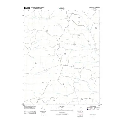
2010 Map of Mintonville
USGS Topo · Published 2010About this map
Argyle and Ware anchor a landscape defined by a network of ridges and watercourses in Casey County, Kentucky. The terrain is notably punctuated by numerous named high points such as Watson Knob, Tarter Knob, and Green River Knob, which rise above the surrounding valleys. The hydrological pattern is dominated by the South Fork Green River and its many tributaries, including Henson Creek, Turkey Creek, and Wolf Creek.
Find a feature on this map
75 named features on this map. Tap any name to fly to it.
Don’t see what you’re looking for? This feature index may not catch every label — zoom into the map to look around manually.
Map Details
Editions of this 2010 Mintonville Map
This is the sole edition of this map. No revisions or reprints were ever made.
Other maps of this area

1935 · Somerset
USGS Topo · 1:62,500

1952 · Eubank
USGS Topo · 1:24,000

1952 · Liberty
USGS Topo · 1:24,000

1952 · Yosemite
USGS Topo · 1:24,000

1953 · Phil
USGS Topo · 1:24,000

1953 · Mintonville
USGS Topo · 1:24,000

1954 · Delmer
USGS Topo · 1:24,000

1954 · Science Hill
USGS Topo · 1:24,000

1954 · Eli
USGS Topo · 1:24,000
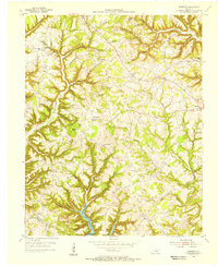
1954 · Faubush
USGS Topo · 1:24,000