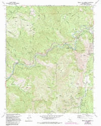
1972 Map of Miracle Hot Springs
USGS Topo · Published 1994About this map
Havilah and the winding course of the Kern River define this corner of the Sequoia National Forest during the early 1970s. The landscape is a corridor of historic mining activity and early hydroelectric development, with the Borel Canal feeding the Borel Powerhouse downstream. Higher elevations in the Greenhorn Mountains are dotted with numerous small-scale mining operations, including the Lone Star Mine, Mayflower Mine, and the Uncle Sam Mine. These sites, alongside a cemetery near Havilah, provide a geographic framework for tracing the 19th-century gold rush legacy into the modern era. Recreation and forest management are anchored by Miracle Hot Springs, the Hobo Campground, and the Davis Forest Service Station, while the rugged interior is traversed by numerous 4wd tracks and a pack trail over Hobo Ridge.
Find a feature on this map
62 named features on this map. Tap any name to fly to it.
Don’t see what you’re looking for? This feature index may not catch every label — zoom into the map to look around manually.
Map Details
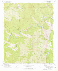
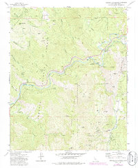
Editions of this 1972 Miracle Hot Springs Map
3 editions found
Other maps of this area

1906 · Kernville
USGS Topo · 1:125,000

1908 · Kernville
USGS Topo · 1:125,000

1914 · Caliente
USGS Topo · 1:125,000

1915 · Mojave
USGS Topo · 1:125,000

1920 · Delonagha
USGS Topo · 1:62,500

1926 · Glennville
USGS Topo · 1:62,500

1936 · Tobias Peak
USGS Topo · 1:125,000

1943 · Emerald Mtn
USGS Topo · 1:62,500

1943 · Breckenridge Mountain
USGS Topo · 1:62,500

1943 · Tobias Peak
USGS Topo · 1:125,000