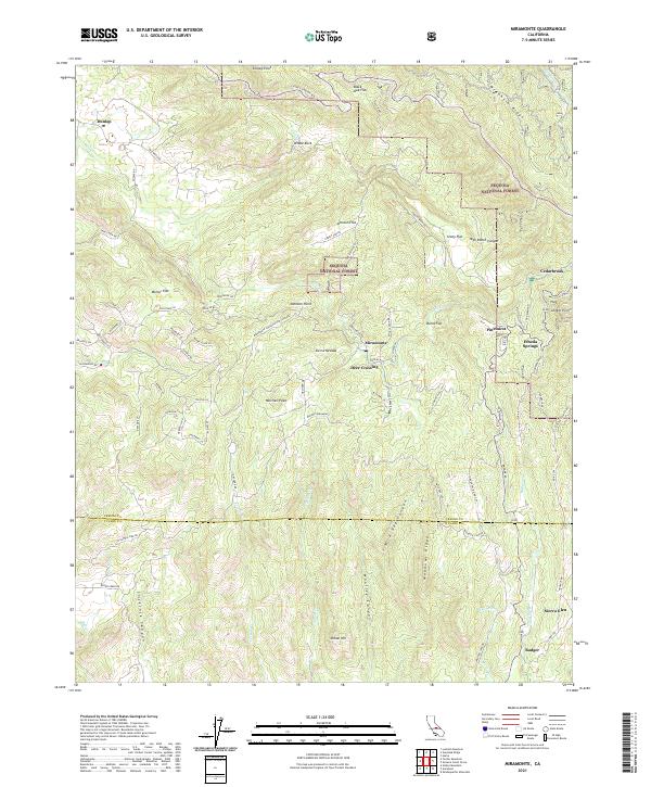
2021 Map of Miramonte
USGS Topo · Published 2021About this map
Sequoia National Forest dominates the high-altitude terrain of this Fresno County survey, where steep ridges like McKenzie Ridge and Meadows Ridge define a landscape of deep canyons and seasonal watercourses. The local road network reveals a distinct pattern of small, dispersed settlements such as Miramonte, Pinehurst, and Dunlap, often linked by winding routes like Badger-Miramonte and E Kings Canyon Rd. The topography is marked by numerous flats and points, including Black Oak Flat and Sontag Point, indicating a geography utilized for both forestry and small-scale habitation. Looking south toward the Tulare County line, the map traces the transition toward Badger and Sierra Glen, where the drainage of Indian Cr and Badger Cr creates complex valley systems between peaks like Mitchell Peak and Indian Hill.
Find a feature on this map
84 named features on this map. Tap any name to fly to it.
Don’t see what you’re looking for? This feature index may not catch every label — zoom into the map to look around manually.
Map Details
Editions of this 2021 Miramonte Map
This is the sole edition of this map. No revisions or reprints were ever made.
Other maps of this area

1903 · Tehipite
USGS Topo · 1:125,000

1905 · Tehipite
USGS Topo · 1:125,000

1921 · Stokes Mountain
USGS Topo · 1:24,000

1922 · Trimmer
USGS Topo · 1:96,000

1924 · Dinuba
USGS Topo · 1:125,000

1924 · Stokes Mountain
USGS Topo · 1:31,680

1942 · Dunlap
USGS Topo · 1:62,500

1944 · Dunlap
USGS Topo · 1:62,500

1948 · Fresno
USGS Topo · 1:250,000

1952 · Tehipite Dome
USGS Topo · 1:62,500