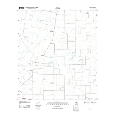
2012 Map of Mire
USGS Topo · Published 2012About this map
Mire and several nearby rural clusters anchor this corner of Acadia Parish, where the Acadian prairie landscape is defined by its complex drainage network and energy extraction. The map detail shows the winding course of Bayou Wikoff to the west and Bayou Queue De Tortue to the east, water bodies that have historically guided settlement patterns in this region. Interspersed among these waterways are established hamlets like Bristol, Higginbotham, and Arceneaux, which grew around family holdings and local intersections.
Find a feature on this map
117 named features on this map. Tap any name to fly to it.
Don’t see what you’re looking for? This feature index may not catch every label — zoom into the map to look around manually.
Map Details
Editions of this 2012 Mire Map
This is the sole edition of this map. No revisions or reprints were ever made.
Other maps of this area
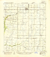
1934 · Duson
USGS Topo · 1:31,680
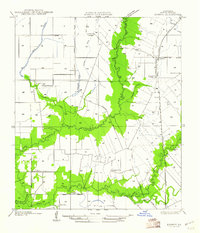
1935 · Branch
USGS Topo · 1:31,680
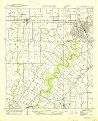
1946 · Lafayette
USGS Topo · 1:31,680
1946 · Rayne
USGS Topo · 1:31,680
1947 · Branch
USGS Topo · 1:31,680
1947 · Pitreville
USGS Topo · 1:31,680

1952 · Lake Charles
USGS Topo · 1:250,000
1954 · Lafayette
USGS Topo · 1:31,680
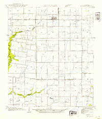
1954 · Duson
USGS Topo · 1:31,680
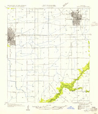
1954 · Rayne
USGS Topo · 1:31,680