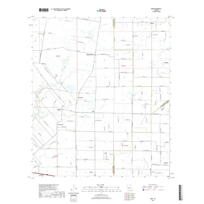
2018 Map of Mire
USGS Topo · Published 2018About this map
Mire and its surrounding prairie communities sit at the junction of Acadia, St. Landry, and Lafayette Parishes, where the landscape is defined by a dense network of coulees and bayous. In this 2018 study, the drainage patterns of Coulee Duralde and the upper reaches of Bayou Queue De Tortue illustrate the hydrology that historically governed settlement in this region. Smaller hamlets like Bristol, Higginbotham, and Arceneaux appear as clusters of development along a road grid that frequently follows the sections of the Public Land Survey System. The presence of Mount Calvary Cem and local airstrips like Stafford Airport and Sievers Field reflect the rural infrastructure of the early 21st century. This map traces the transition between agricultural land and the expanding outskirts of Rayne, Duson, and Scott, providing a record of local property boundaries and the persistence of family-named landmarks across the Acadiana landscape.
Find a feature on this map
119 named features on this map. Tap any name to fly to it.
Don’t see what you’re looking for? This feature index may not catch every label — zoom into the map to look around manually.
Map Details
Editions of this 2018 Mire Map
This is the sole edition of this map. No revisions or reprints were ever made.
Other maps of this area

1934 · Duson
USGS Topo · 1:31,680

1935 · Branch
USGS Topo · 1:31,680

1946 · Lafayette
USGS Topo · 1:31,680

1946 · Rayne
USGS Topo · 1:31,680

1947 · Branch
USGS Topo · 1:31,680

1947 · Pitreville
USGS Topo · 1:31,680

1952 · Lake Charles
USGS Topo · 1:250,000

1954 · Lafayette
USGS Topo · 1:31,680

1954 · Duson
USGS Topo · 1:31,680
1954 · Rayne
USGS Topo · 1:31,680