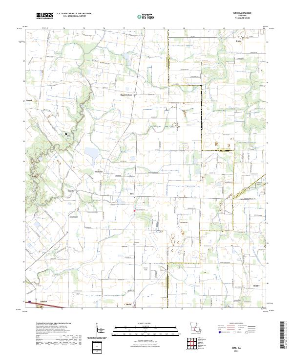
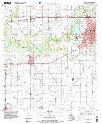
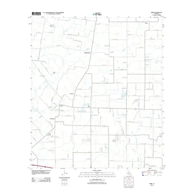
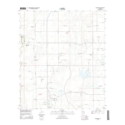
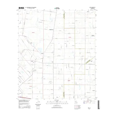
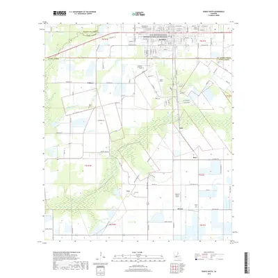
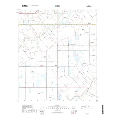
2024 Map of Mire
USGS Topo · Published 2024About this map
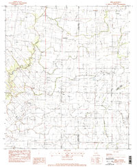
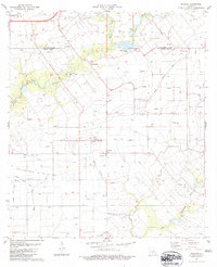
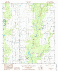
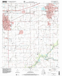
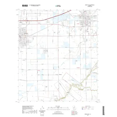
The low-lying prairie and bayou country of Acadia Parish is defined by a network of drainage coulees and small unincorporated communities. At the center of the sheet, Mire serves as a local hub, situated near the intersection of several parish roads and the Coulee Duralde. The landscape is largely agricultural, marked by several family-named settlements like Higginbotham, Castille, and Arceneaux, which reflect the French-Acadian heritage of the region.
Find a feature on this map
134 named features on this map. Tap any name to fly to it.
Don’t see what you’re looking for? This feature index may not catch every label — zoom into the map to look around manually.
Map Details
Editions of this 2024 Mire Map
This is the sole edition of this map. No revisions or reprints were ever made.
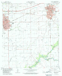
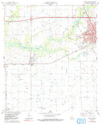
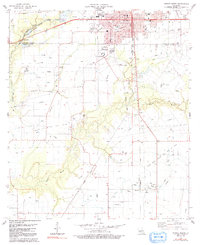
Historical Maps of Rayne Through Time
41 maps found

1947 Evangeline
Acadia Parish, LA

1947 Pitreville
Acadia Parish, LA
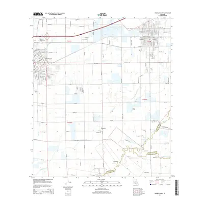
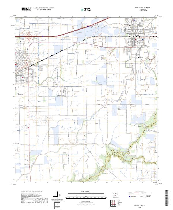
1983 Crowley East
Acadia Parish, LA
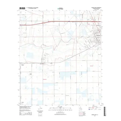
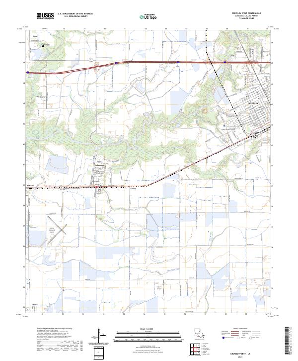
1983 Crowley West
Acadia Parish, LA
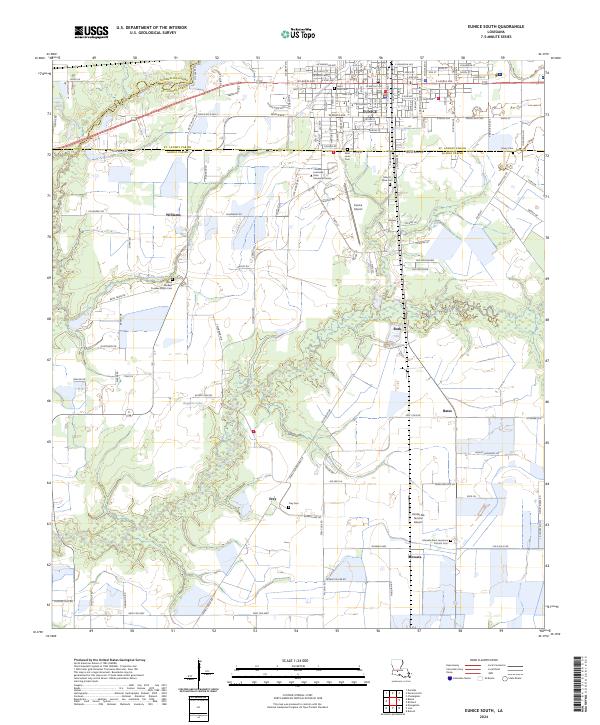
1983 Eunice South
Acadia Parish, LA
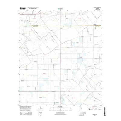
1983 Mire
Acadia Parish, LA
1983 Richard
Acadia Parish, LA
1985 Evangeline
Acadia Parish, LA
1998 Crowley East
Acadia Parish, LA
1998 Crowley West
Acadia Parish, LA
1998 Mire
Acadia Parish, LA
2012 Crowley East
Acadia Parish, LA
2012 Crowley West
Acadia Parish, LA
2012 Eunice South
Acadia Parish, LA
2012 Evangeline
Acadia Parish, LA
2012 Mire
Acadia Parish, LA
2012 Richard
Acadia Parish, LA
2015 Crowley East
Acadia Parish, LA
2015 Crowley West
Acadia Parish, LA
2015 Eunice South
Acadia Parish, LA
2015 Evangeline
Acadia Parish, LA
2015 Mire
Acadia Parish, LA
2015 Richard
Acadia Parish, LA
2018 Crowley East
Acadia Parish, LA
2018 Crowley West
Acadia Parish, LA
2018 Eunice South
Acadia Parish, LA
2018 Evangeline
Acadia Parish, LA
2018 Mire
Acadia Parish, LA
2018 Richard
Acadia Parish, LA
2020 Crowley East
Acadia Parish, LA
2020 Crowley West
Acadia Parish, LA

2020 Eunice South
Acadia Parish, LA
2020 Evangeline
Acadia Parish, LA
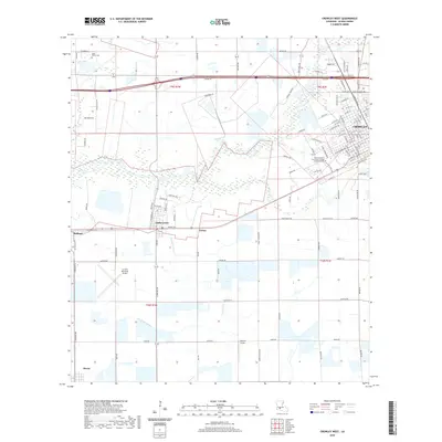
2020 Mire
Acadia Parish, LA
2020 Richard
Acadia Parish, LA
2024 Crowley East
Acadia Parish, LA
2024 Crowley West
Acadia Parish, LA
2024 Eunice South
Acadia Parish, LA
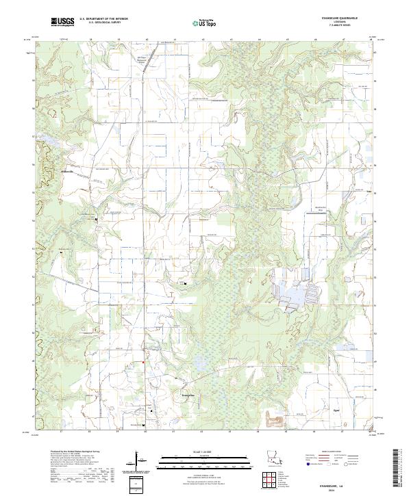
2024 Evangeline
Acadia Parish, LA
2024 Mire
Acadia Parish, LA
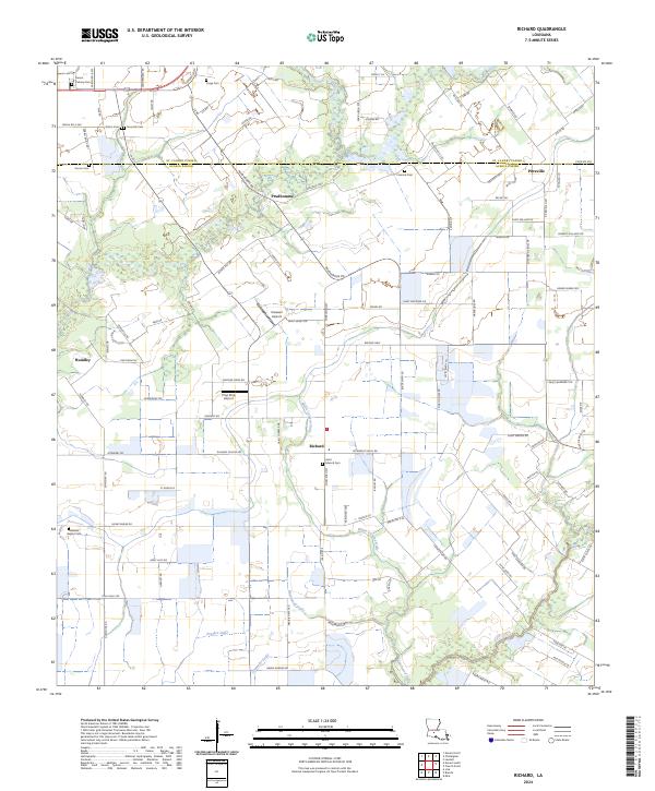
2024 Richard
Acadia Parish, LA