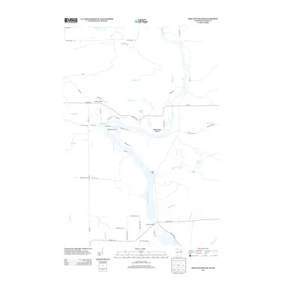
2013 Map of Miscauno Island
USGS Topo · Published 2013About this map
The Menominee River serves as the central artery for this borderland geography, weaving between Wisconsin and Michigan where Miscauno Island stands as a prominent topographic feature. The river's course is punctuated by the dramatic Pemene Falls to the north and the wider expanses near Chalk Hill and the Chalk Hill Bridge to the south. This 2013 survey illustrates a landscape of dense water networks, from the Pemebonwon River to numerous creeks like Mullaney Cr and Rosebush Cr. Local infrastructure is anchored by the Shangrila Airport and the settlement of White Pine Haven, while recreational and resource management is evident through features like Girl Scout Camp Rd and the White Rapids Loop. The transition from the Shakey River to the small, tucked-away waters of Dawn Lake and Sunset Lake highlights a region defined by its complex hydrology and sparse, woodland-based development.
Find a feature on this map
54 named features on this map. Tap any name to fly to it.
Don’t see what you’re looking for? This feature index may not catch every label — zoom into the map to look around manually.
Map Details
Editions of this 2013 Miscauno Island Map
This is the sole edition of this map. No revisions or reprints were ever made.
Other maps of this area

1939 · Pembine
USGS Topo · 1:48,000

1942 · Wausaukee
USGS Topo · 1:48,000

1947 · Pembine
USGS Topo · 1:48,000

1947 · Wausaukee
USGS Topo · 1:48,000

1949 · Stephenson
USGS Topo · 1:48,000

1954 · Escanaba
USGS Topo · 1:250,000

1957 · Escanaba
USGS Topo · 1:250,000

1958 · Escanaba
USGS Topo · 1:250,000

1963 · Pembine
USGS Topo · 1:62,500

1963 · Powers
USGS Topo · 1:62,500