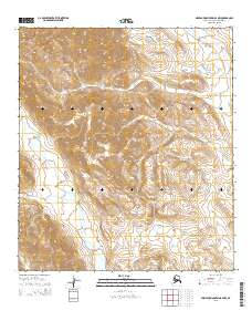
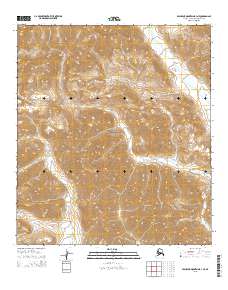
2015 Map of Misheguk Mountain B-2 NW
USGS Topo · Published 2015About this map
The De Long Mountains dominate this high-altitude landscape in the Arctic north, providing a stark topographical record of the Brooks Range within the Noatak National Preserve. The terrain is defined by a complex drainage system where the Nimiuktuk River flows across the northeast corner, while Seagull Cr and Kukukpilak Cr carve paths through the steep southern slopes. These watercourses represent the primary navigational landmarks in a region largely devoid of human infrastructure. The lack of roads or established settlements on this 2015 survey emphasizes the protected, wilderness character of the preserve, where the physical geography itself serves as the sole guide for those tracing this remote portion of the North Slope.
Find a feature on this map
9 named features on this map. Tap any name to fly to it.
Don’t see what you’re looking for? This feature index may not catch every label — zoom into the map to look around manually.
Map Details
Editions of this 2015 Misheguk Mountain B-2 NW Map
This is the sole edition of this map. No revisions or reprints were ever made.
Other maps of this area

1951 · Misheguk Mountain
USGS Topo · 1:250,000

1956 · Misheguk Mountain
USGS Topo · 1:250,000
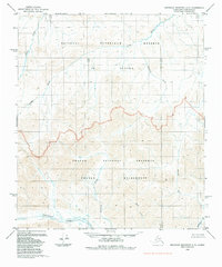
1984 · Misheguk Mountain C-2
USGS Topo · 1:63,360
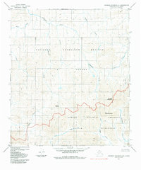
1984 · Misheguk Mountain C-3
USGS Topo · 1:63,360
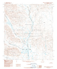
1990 · Misheguk Mountain B-2
USGS Topo · 1:63,360
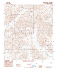
1990 · Misheguk Mountain B-3
USGS Topo · 1:63,360
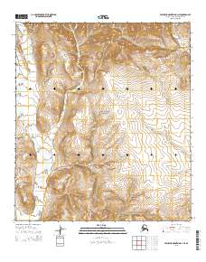
2015 · Misheguk Mountain B-2 NE
USGS Topo · 1:25,000
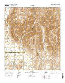
2015 · Misheguk Mountain B-2 SE
USGS Topo · 1:25,000
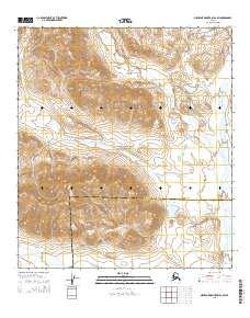
2015 · Misheguk Mountain B-2 SW
USGS Topo · 1:25,000
2015 · Misheguk Mountain B-3 NE
USGS Topo · 1:25,000