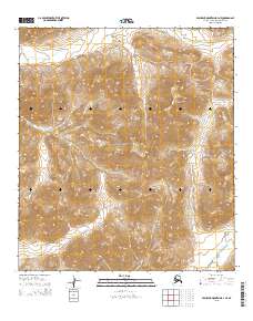
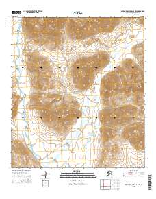
2015 Map of Misheguk Mountain B-4 NE
USGS Topo · Published 2015About this map
Mt Bastille stands as a prominent high point in this remote Alaskan wilderness, situated within the high reaches of the De Long Mountains. This 2015 survey reveals a landscape largely defined by its natural topography and drainage systems, where the Noatak National Preserve encompasses the central terrain. The northern portion of the map is dominated by the winding course of the Kugururok River, while the southeast is drained by Trail Creek. The absence of man-made roads or settlements underscores the primitive state of this North Slope region, which remains primarily defined by the Public Land Survey System boundaries of t11s r39w, t11s r38w, t12s r39w, and t12s r38w.
Find a feature on this map
9 named features on this map. Tap any name to fly to it.
Don’t see what you’re looking for? This feature index may not catch every label — zoom into the map to look around manually.
Map Details
Editions of this 2015 Misheguk Mountain B-4 NE Map
This is the sole edition of this map. No revisions or reprints were ever made.
Other maps of this area

1951 · Misheguk Mountain
USGS Topo · 1:250,000

1956 · Misheguk Mountain
USGS Topo · 1:250,000
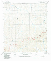
1984 · Misheguk Mountain C-3
USGS Topo · 1:63,360
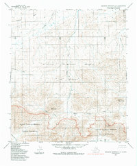
1984 · Misheguk Mountain C-4
USGS Topo · 1:63,360
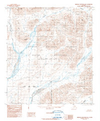
1990 · Misheguk Mountain B-4
USGS Topo · 1:63,360
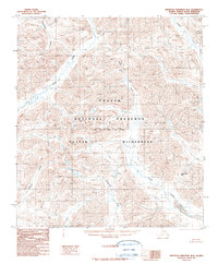
1990 · Misheguk Mountain B-3
USGS Topo · 1:63,360
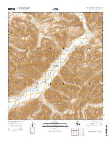
2015 · Misheguk Mountain B-3 NW
USGS Topo · 1:25,000
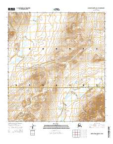
2015 · Misheguk Mountain B-4 SW
USGS Topo · 1:25,000
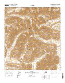
2015 · Misheguk Mountain B-3 SW
USGS Topo · 1:25,000
2015 · Misheguk Mountain B-4 NW
USGS Topo · 1:25,000