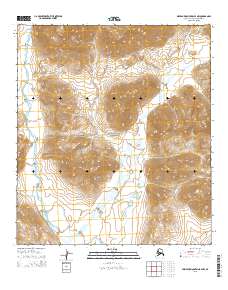
2015 Map of Misheguk Mountain B-4 NW
USGS Topo · Published 2015About this map
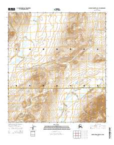
Copter Peak and Kingaviksak Mtn dominate this remote northern landscape within the Noatak National Preserve. The terrain is defined by a network of drainage systems, most notably the Kugururok River which carves through the central and southern portions of the quadrangle. Smaller tributaries like Nunaviksak Cr and Cairn Cr feed into the larger river valleys, illustrating the complex hydrology of the Alaska North Slope. This U.S. Geological Survey representation highlights the high-altitude topography and glacial-carved valleys of the western Brooks Range during the early 21st century. The map provides essential detail for understanding the landforms of this protected wilderness, where no roads or permanent settlements are indicated, emphasizing the untouched nature of this Arctic environment.
Find a feature on this map
12 named features on this map. Tap any name to fly to it.
Don’t see what you’re looking for? This feature index may not catch every label — zoom into the map to look around manually.
Map Details
Editions of this 2015 Misheguk Mountain B-4 NW Map
This is the sole edition of this map. No revisions or reprints were ever made.
Other maps of this area

1951 · Misheguk Mountain
USGS Topo · 1:250,000

1956 · Misheguk Mountain
USGS Topo · 1:250,000
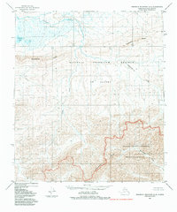
1984 · Misheguk Mountain C-5
USGS Topo · 1:63,360
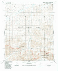
1984 · Misheguk Mountain C-4
USGS Topo · 1:63,360
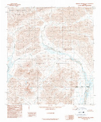
1990 · Misheguk Mountain B-5
USGS Topo · 1:63,360
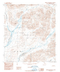
1990 · Misheguk Mountain B-4
USGS Topo · 1:63,360
2014 · Misheguk Mountain C-5 SE
USGS Topo · 1:25,000
2014 · Misheguk Mountain B-5 NE
USGS Topo · 1:25,000
2014 · Misheguk Mountain B-5 SE
USGS Topo · 1:25,000
2015 · Misheguk Mountain B-4 SW
USGS Topo · 1:25,000