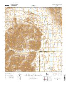
2014 Map of Misheguk Mountain B-5 SE
USGS Topo · Published 2014About this map
Noatak National Preserve encompasses a significant portion of this Arctic landscape, where the high-latitude terrain of the Avgun Hills transitions toward the valley of the Kugururok River. This 2014 survey documents a remote wilderness area defined by braided glacial river systems and steep elevation changes. The Kagvik Cr flows through the northern reaches of the quadrangle, eventually feeding into the larger drainage network. The map also delineates the administrative boundary between the North Slope Borough and Northwest Arctic Borough, a critical line for modern land management and regional history. While uninhabited, the detailed contour work by the U.S. Geological Survey provides an essential record of the permafrost-shaped topography and the hydrological patterns that define the region's geography.
Find a feature on this map
11 named features on this map. Tap any name to fly to it.
Don’t see what you’re looking for? This feature index may not catch every label — zoom into the map to look around manually.
Map Details
Editions of this 2014 Misheguk Mountain B-5 SE Map
This is the sole edition of this map. No revisions or reprints were ever made.
Other maps of this area

1951 · Misheguk Mountain
USGS Topo · 1:250,000

1955 · Misheguk Mountain A-5
USGS Topo · 1:63,360
1955 · Misheguk Mountain A-4
USGS Topo · 1:63,360

1956 · Misheguk Mountain
USGS Topo · 1:250,000
1990 · Misheguk Mountain B-5
USGS Topo · 1:63,360
1990 · Misheguk Mountain B-4
USGS Topo · 1:63,360
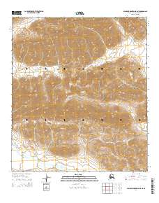
2014 · Misheguk Mountain B-5 NE
USGS Topo · 1:25,000
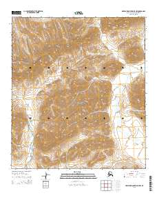
2015 · Misheguk Mountain B-5 NW
USGS Topo · 1:25,000
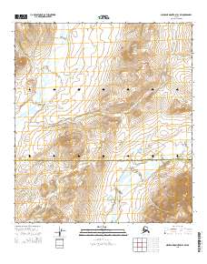
2015 · Misheguk Mountain B-4 SW
USGS Topo · 1:25,000
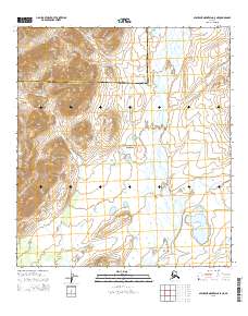
2015 · Misheguk Mountain A-5 NE
USGS Topo · 1:25,000