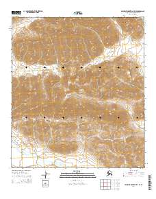
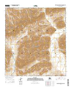
2014 Map of Misheguk Mountain B-5 NE
USGS Topo · Published 2014About this map
Noatak National Preserve encompasses much of this high-latitude terrain, where the northern reaches of the De Long Mountains meet the arctic drainage systems. The landscape is defined by the winding course of Kagvik Cr, which cuts through the mountainous topography as it flows toward the southwest corner of the sheet. Surveyed in the early 21st century, the map documents a region almost entirely devoid of modern infrastructure, preserving the natural state of the North Slope's interior. This 2014 edition serves as a precise record of the hydrological patterns and elevation contours within the preserve, highlighting the isolation and environmental character of this section of the Brooks Range.
Find a feature on this map
7 named features on this map. Tap any name to fly to it.
Don’t see what you’re looking for? This feature index may not catch every label — zoom into the map to look around manually.
Map Details
Editions of this 2014 Misheguk Mountain B-5 NE Map
This is the sole edition of this map. No revisions or reprints were ever made.
Other maps of this area

1951 · Misheguk Mountain
USGS Topo · 1:250,000

1956 · Misheguk Mountain
USGS Topo · 1:250,000
1984 · Misheguk Mountain C-5
USGS Topo · 1:63,360
1984 · Misheguk Mountain C-4
USGS Topo · 1:63,360
1990 · Misheguk Mountain B-5
USGS Topo · 1:63,360
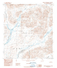
1990 · Misheguk Mountain B-4
USGS Topo · 1:63,360
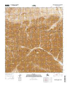
2014 · Misheguk Mountain C-5 SE
USGS Topo · 1:25,000
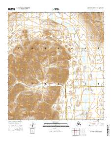
2014 · Misheguk Mountain B-5 SE
USGS Topo · 1:25,000
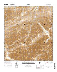
2015 · Misheguk Mountain C-5 SW
USGS Topo · 1:25,000
2015 · Misheguk Mountain B-5 NW
USGS Topo · 1:25,000