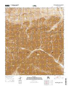
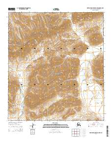
2014 Map of Misheguk Mountain C-5 SE
USGS Topo · Published 2014About this map
The De Long Mountains dominate this high-latitude terrain within the Noatak National Preserve. The landscape is defined by its dramatic drainage patterns, where the headwaters of Nunavikshak Cr and Tigluruk Cr carve through deep valleys between high peaks. In the southwestern portion of the sheet, the appropriately named Inaccessible Ridge rises above the drainage of Kugrak Cr, illustrating the extreme isolation of this Arctic environment. This 2014 survey captures the undisturbed character of the Brooks Range as it existed in the early 21st century, showing a wilderness untouched by roads or permanent settlements and defined solely by its natural boundaries and watercourses.
Find a feature on this map
12 named features on this map. Tap any name to fly to it.
Don’t see what you’re looking for? This feature index may not catch every label — zoom into the map to look around manually.
Map Details
Editions of this 2014 Misheguk Mountain C-5 SE Map
This is the sole edition of this map. No revisions or reprints were ever made.
Other maps of this area

1951 · Misheguk Mountain
USGS Topo · 1:250,000

1956 · Misheguk Mountain
USGS Topo · 1:250,000
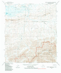
1984 · Misheguk Mountain C-5
USGS Topo · 1:63,360
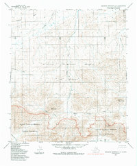
1984 · Misheguk Mountain C-4
USGS Topo · 1:63,360
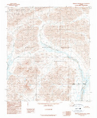
1990 · Misheguk Mountain B-5
USGS Topo · 1:63,360
1990 · Misheguk Mountain B-4
USGS Topo · 1:63,360
2014 · Misheguk Mountain B-5 NE
USGS Topo · 1:25,000
2015 · Misheguk Mountain C-5 SW
USGS Topo · 1:25,000
2015 · Misheguk Mountain C-5 NE
USGS Topo · 1:25,000
2015 · Misheguk Mountain B-5 NW
USGS Topo · 1:25,000