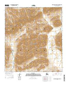
2015 Map of Misheguk Mountain B-5 NW
USGS Topo · Published 2015About this map
Noatak National Preserve encompasses this entire Arctic landscape, a region defined by complex drainage systems and formidable relief within the North Slope Borough. The terrain is characterized by the prominent Inaccessible Ridge in the northeast, which overlooks a network of braided stream beds. These waterways, including Atnerich Cr in the west and Kaguik Cr in the east, follow the deep valleys carved into the Delong Mountains. The 2015 data illustrates a landscape largely devoid of human infrastructure, focusing instead on the hydrography and elevation that govern this portion of the Alaskan interior. Smaller tributaries like Kuruk Cr feed the larger basins, reflecting the drainage patterns of a watershed that remains one of the most untouched wilderness areas in North America.
Find a feature on this map
9 named features on this map. Tap any name to fly to it.
Don’t see what you’re looking for? This feature index may not catch every label — zoom into the map to look around manually.
Map Details
Editions of this 2015 Misheguk Mountain B-5 NW Map
This is the sole edition of this map. No revisions or reprints were ever made.
Other maps of this area

1951 · De Long Mountains
USGS Topo · 1:250,000

1951 · Misheguk Mountain
USGS Topo · 1:250,000

1955 · De Long Mountains
USGS Topo · 1:250,000
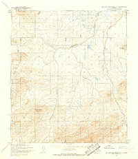
1955 · De Long Mountains C-1
USGS Topo · 1:63,360
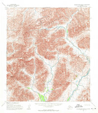
1955 · De Long Mountains B-1
USGS Topo · 1:63,360

1956 · Misheguk Mountain
USGS Topo · 1:250,000

1965 · De Long Mountains
USGS Topo · 1:250,000
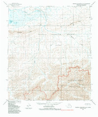
1984 · Misheguk Mountain C-5
USGS Topo · 1:63,360
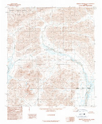
1990 · Misheguk Mountain B-5
USGS Topo · 1:63,360
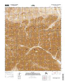
2014 · Misheguk Mountain C-5 SE
USGS Topo · 1:25,000