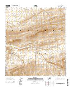
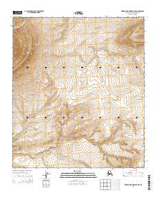
2015 Map of Misheguk Mountain C-5 NE
USGS Topo · Published 2015About this map
Ilingnorak Ridge dominates the northeastern landscape of this interior terrain, where the high ground drops toward the winding path of Iligluruk Cr. This 2015 survey reveals the vast, undeveloped character of the North Slope, emphasizing the intricate drainage patterns that define this arctic environment. The waterway of Iligluruk Cr carves a long course through the central and western sections, serving as the primary natural feature in an area marked by significant elevation changes. Historically significant for its lack of modern infrastructure, the map documents the raw geography of the t8s r41w and t9s r41w townships, where the terrain itself remains the most prominent record of the land.
Find a feature on this map
6 named features on this map. Tap any name to fly to it.
Don’t see what you’re looking for? This feature index may not catch every label — zoom into the map to look around manually.
Map Details
Editions of this 2015 Misheguk Mountain C-5 NE Map
This is the sole edition of this map. No revisions or reprints were ever made.
Other maps of this area

1951 · Misheguk Mountain
USGS Topo · 1:250,000

1956 · Misheguk Mountain
USGS Topo · 1:250,000
1984 · Misheguk Mountain C-5
USGS Topo · 1:63,360
1984 · Misheguk Mountain D-5
USGS Topo · 1:63,360
1984 · Misheguk Mountain C-4
USGS Topo · 1:63,360
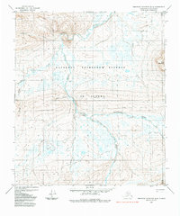
1984 · Misheguk Mountain D-4
USGS Topo · 1:63,360
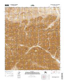
2014 · Misheguk Mountain C-5 SE
USGS Topo · 1:25,000
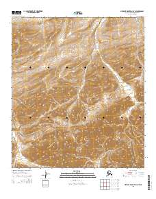
2015 · Misheguk Mountain C-5 SW
USGS Topo · 1:25,000
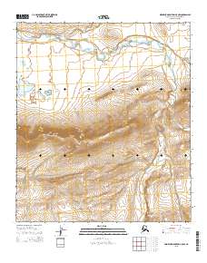
2015 · Misheguk Mountain C-5 NW
USGS Topo · 1:25,000
2015 · Misheguk Mountain D-5 SE
USGS Topo · 1:25,000