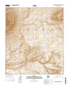
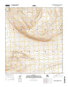
2015 Map of Misheguk Mountain D-5 SE
USGS Topo · Published 2015About this map
The remote drainage of Tupikchak Cr defines the northwestern corner of this Alaskan wilderness within the North Slope Borough. This 2015 survey reveals an uninhabited landscape where watercourses like Plunge Cr provide the primary geographical definition across a series of steep topographic gradients. The Public Land Survey System (PLSS) grid, including boundaries for t6s r41w and t7s r41w, provides the only human-imposed structure over this expansive arctic terrain. The lack of roads, structures, or established settlements emphasizes the isolation of this sector of the Misheguk Mountain area, serving as a baseline for the region's natural hydrography and elevation before any modern industrial or infrastructure development.
Find a feature on this map
7 named features on this map. Tap any name to fly to it.
Don’t see what you’re looking for? This feature index may not catch every label — zoom into the map to look around manually.
Map Details
Editions of this 2015 Misheguk Mountain D-5 SE Map
This is the sole edition of this map. No revisions or reprints were ever made.
Other maps of this area

1951 · Misheguk Mountain
USGS Topo · 1:250,000

1956 · Misheguk Mountain
USGS Topo · 1:250,000
1984 · Misheguk Mountain C-5
USGS Topo · 1:63,360
1984 · Misheguk Mountain D-5
USGS Topo · 1:63,360
1984 · Misheguk Mountain C-4
USGS Topo · 1:63,360
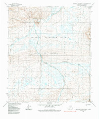
1984 · Misheguk Mountain D-4
USGS Topo · 1:63,360
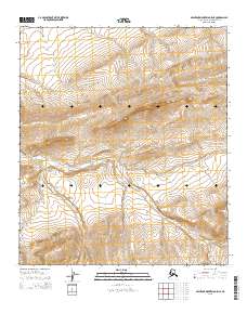
2015 · Misheguk Mountain C-5 NE
USGS Topo · 1:25,000
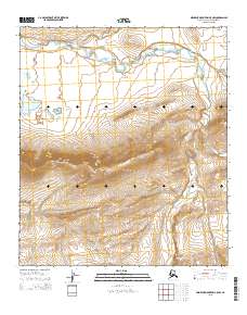
2015 · Misheguk Mountain C-5 NW
USGS Topo · 1:25,000
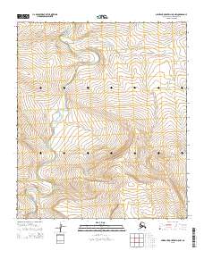
2015 · Misheguk Mountain D-5 NW
USGS Topo · 1:25,000
2015 · Misheguk Mountain D-5 SW
USGS Topo · 1:25,000