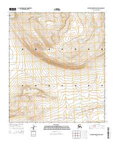
2015 Map of Misheguk Mountain D-5 SW
USGS Topo · Published 2015About this map
The Kokolik River winds through the northwestern corner of this remote Alaskan landscape, marking a prominent drainage in the De Long Mountains. The terrain is characterized by the high elevations of Tupikchak Mtn, which serves as a significant topographical landmark near the center of the sheet. Numerous stream systems, including Shulunbruruk Cr and Tupikchak Cr, carve through the steep relief, illustrating the natural watershed patterns of the North Slope Borough. This 2015 survey provides a modern record of the land before any substantial infrastructure development, showing only the natural features and the established township and range survey lines such as t6s r42w.
Find a feature on this map
10 named features on this map. Tap any name to fly to it.
Don’t see what you’re looking for? This feature index may not catch every label — zoom into the map to look around manually.
Map Details
Editions of this 2015 Misheguk Mountain D-5 SW Map
This is the sole edition of this map. No revisions or reprints were ever made.
Other maps of this area

1951 · De Long Mountains
USGS Topo · 1:250,000

1951 · Misheguk Mountain
USGS Topo · 1:250,000

1955 · De Long Mountains
USGS Topo · 1:250,000
1955 · De Long Mountains D-1
USGS Topo · 1:63,360
1955 · De Long Mountains C-1
USGS Topo · 1:63,360

1956 · Misheguk Mountain
USGS Topo · 1:250,000

1965 · De Long Mountains
USGS Topo · 1:250,000
1984 · Misheguk Mountain C-5
USGS Topo · 1:63,360
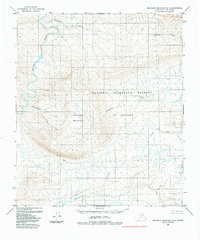
1984 · Misheguk Mountain D-5
USGS Topo · 1:63,360
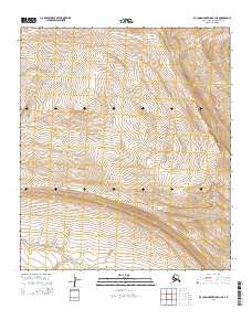
2015 · De Long Mountains D-1 NE
USGS Topo · 1:25,000