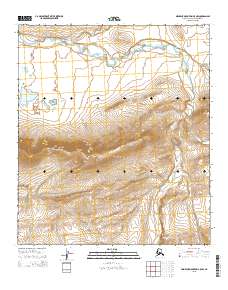
2015 Map of Misheguk Mountain C-5 NW
USGS Topo · Published 2015About this map
Sulungatak Ridge dominates the central portion of this North Slope landscape, creating a prominent topographical divide that influences the local drainage patterns. To the north, the waters of Iligluruk Cr meander through the tundra, while Spike Cr flows southward through the lower elevations. The presence of Kokolik Lake on the western edge of the quadrangle provides a significant hydrologic marker in a region defined by its seasonal water flow and lack of permanent human infrastructure. This 2015 survey by the U.S. Geological Survey details the transition from high ridgelines to the surrounding wetlands, illustrating the natural state of this remote Alaskan borough before any major modern development.
Find a feature on this map
8 named features on this map. Tap any name to fly to it.
Don’t see what you’re looking for? This feature index may not catch every label — zoom into the map to look around manually.
Map Details
Editions of this 2015 Misheguk Mountain C-5 NW Map
This is the sole edition of this map. No revisions or reprints were ever made.
Other maps of this area

1951 · De Long Mountains
USGS Topo · 1:250,000

1951 · Misheguk Mountain
USGS Topo · 1:250,000

1955 · De Long Mountains
USGS Topo · 1:250,000
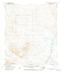
1955 · De Long Mountains D-1
USGS Topo · 1:63,360
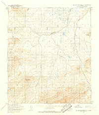
1955 · De Long Mountains C-1
USGS Topo · 1:63,360

1956 · Misheguk Mountain
USGS Topo · 1:250,000

1965 · De Long Mountains
USGS Topo · 1:250,000
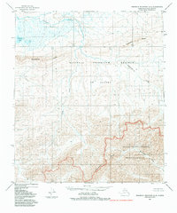
1984 · Misheguk Mountain C-5
USGS Topo · 1:63,360
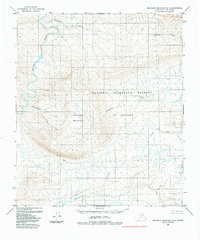
1984 · Misheguk Mountain D-5
USGS Topo · 1:63,360
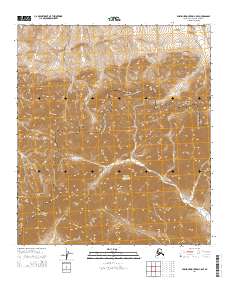
2014 · Misheguk Mountain C-5 SE
USGS Topo · 1:25,000