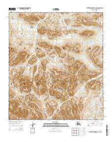
2015 Map of Misheguk Mountain C-1 NE
USGS Topo · Published 2015About this map
Nuka Ridge dominates the southwestern corner of this survey, defining a high-altitude landscape where steep contours mark the transitions between drainages. This high-latitude environment is characterized by the complex headwaters of several streams, most notably Sorepau Cr, which meanders through the central and western sections. The eastern reaches are defined by the upper courses of Bogie Cr and Jubilee Cr, illustrating the radial drainage patterns typical of this mountainous portion of the North Slope Borough. The lack of built infrastructure or settlements highlights the isolation of this terrain, where the Public Land Survey System boundaries like t9s r31w provide the only human-imposed structure on the natural topography.
Find a feature on this map
9 named features on this map. Tap any name to fly to it.
Don’t see what you’re looking for? This feature index may not catch every label — zoom into the map to look around manually.
Map Details
Editions of this 2015 Misheguk Mountain C-1 NE Map
This is the sole edition of this map. No revisions or reprints were ever made.
Other maps of this area

1951 · Howard Pass
USGS Topo · 1:250,000

1951 · Misheguk Mountain
USGS Topo · 1:250,000

1956 · Howard Pass
USGS Topo · 1:250,000

1956 · Misheguk Mountain
USGS Topo · 1:250,000
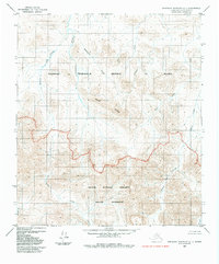
1984 · Misheguk Mountain C-1
USGS Topo · 1:63,360
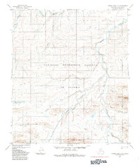
1984 · Howard Pass D-5
USGS Topo · 1:63,360
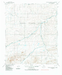
1984 · Misheguk Mountain D-1
USGS Topo · 1:63,360
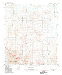
1984 · Howard Pass C-5
USGS Topo · 1:63,360
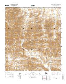
2015 · Misheguk Mountain C-1 SW
USGS Topo · 1:25,000
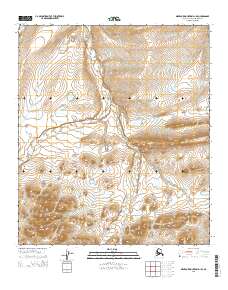
2015 · Misheguk Mountain D-1 SE
USGS Topo · 1:25,000