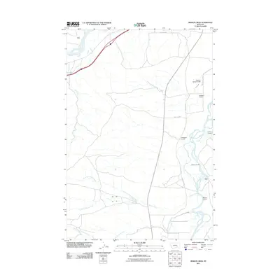
2011 Map of Mission Creek
USGS Topo · Published 2011About this map
The confluence area of the Yellowstone River and Bighorn River defines this portion of Yellowstone County, where the landscape transitions from river bottoms into complex coulee systems. Rural life is anchored by family-named landmarks such as the Steele Ranch in the northwest and the Wolfe Ranch near the Bighorn River to the east. The river valley's agricultural history is evidenced by the presence of Victory Ditch and the aptly named Beet Dump Rd, indicating the importance of local crop transport and irrigation.
Find a feature on this map
21 named features on this map. Tap any name to fly to it.
Don’t see what you’re looking for? This feature index may not catch every label — zoom into the map to look around manually.
Map Details
Editions of this 2011 Mission Creek Map
This is the sole edition of this map. No revisions or reprints were ever made.
Other maps of this area

1894 · Fort Custer
USGS Topo · 1:125,000

1954 · Hardin
USGS Topo · 1:250,000

1954 · Forsyth
USGS Topo · 1:250,000

1957 · Hardin
USGS Topo · 1:250,000

1957 · Forsyth
USGS Topo · 1:250,000

1958 · Forsyth
USGS Topo · 1:250,000

1958 · Hardin
USGS Topo · 1:250,000

1960 · Bighorn
USGS Topo · 1:24,000

1960 · Foster
USGS Topo · 1:24,000

1960 · Coal Bank Creek
USGS Topo · 1:24,000