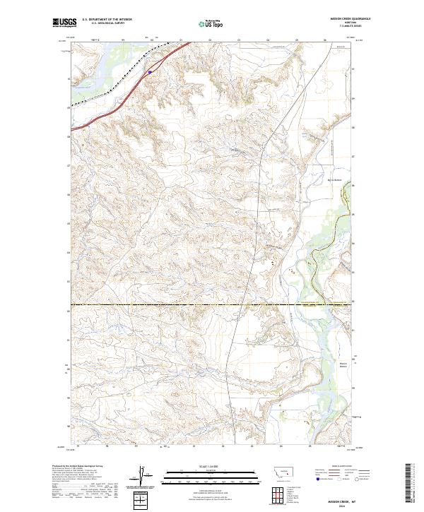
2024 Map of Mission Creek
USGS Topo · Published 2024About this map
The confluence of the Bighorn River and the Yellowstone River creates a distinctive landscape of alluvial flats and coulees within this corner of Montana. In the south, Mission Bottom sits near where Mission Creek and Sorrel Horse Creek drain toward the Bighorn. The map documents an intricate network of irrigation and water management, notably the Victory Ditch and the aptly named Fighting Spring, which flow through the rolling terrain east of the rivers.
Find a feature on this map
28 named features on this map. Tap any name to fly to it.
Don’t see what you’re looking for? This feature index may not catch every label — zoom into the map to look around manually.
Map Details
Editions of this 2024 Mission Creek Map
This is the sole edition of this map. No revisions or reprints were ever made.
Other maps of this area

1894 · Fort Custer
USGS Topo · 1:125,000

1954 · Hardin
USGS Topo · 1:250,000

1954 · Forsyth
USGS Topo · 1:250,000

1957 · Hardin
USGS Topo · 1:250,000

1957 · Forsyth
USGS Topo · 1:250,000

1958 · Forsyth
USGS Topo · 1:250,000

1958 · Hardin
USGS Topo · 1:250,000

1960 · Bighorn
USGS Topo · 1:24,000

1960 · Foster
USGS Topo · 1:24,000

1960 · Coal Bank Creek
USGS Topo · 1:24,000