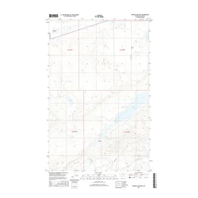
2017 Map of Mission Lake West
USGS Topo · Published 2017About this map
Two Medicine River meanders across the southern reaches of this landscape in Glacier County, carving a distinct hydrological path through the northern plains. This area is defined by its series of significant water bodies, most notably Mission Lake and Upper Mission Lake, which anchor the central and eastern portions of the terrain. The topography reveals a complex network of coulees, including Wasteway Coulee and Flat Coulee, which manage the drainage across the high prairie.
Find a feature on this map
17 named features on this map. Tap any name to fly to it.
Don’t see what you’re looking for? This feature index may not catch every label — zoom into the map to look around manually.
Map Details
Editions of this 2017 Mission Lake West Map
This is the sole edition of this map. No revisions or reprints were ever made.
Other maps of this area

1911 · Blackfoot
USGS Topo · 1:125,000

1914 · Heart Butte
USGS Topo · 1:125,000

1918 · Heart Butte
USGS Topo · 1:125,000

1960 · Cut Bank
USGS Topo · 1:250,000

1963 · Cut Bank
USGS Topo · 1:250,000

1964 · Cut Bank
USGS Topo · 1:250,000
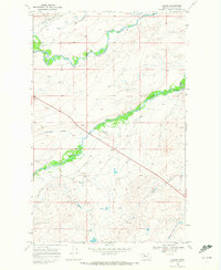
1968 · Piegan
USGS Topo · 1:24,000

1968 · Rimrock Butte
USGS Topo · 1:24,000

1968 · White Man Coulee
USGS Topo · 1:24,000
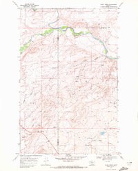
1968 · Rocky Ridge
USGS Topo · 1:24,000