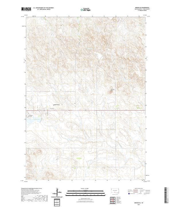
2021 Map of Mission SE
USGS Topo · Published 2021About this map
White Horse stands as a focal point in this portion of Todd County, situated amidst a landscape of intermittent drainages and prominent rises. The map documents the presence of Sinte Gleska University, reflecting the educational infrastructure of the Rosebud Sioux Tribe in the early 21st century. The topography is defined by significant landmarks like Haystack Butte and the winding paths of White Thunder Cr and Antelope Cr. The road network is sparse, characterized by routes such as High Pipe Dr and E Corn Rd, which navigate between Antelope Lake and Tower Lake. This geographic survey illustrates the modern rural settlement patterns of the South Dakota plains, where university campuses and small communities are tied together by long-established trails and seasonal watercourses.
Find a feature on this map
14 named features on this map. Tap any name to fly to it.
Don’t see what you’re looking for? This feature index may not catch every label — zoom into the map to look around manually.
Map Details
Editions of this 2021 Mission SE Map
This is the sole edition of this map. No revisions or reprints were ever made.
Other maps of this area

1955 · Martin
USGS Topo · 1:250,000

1958 · Martin
USGS Topo · 1:250,000

1969 · Mission NW
USGS Topo · 1:24,000

1969 · Mission
USGS Topo · 1:24,000

1969 · Olsonville NW
USGS Topo · 1:24,000

1982 · Mission NE
USGS Topo · 1:24,000

1982 · Olsonville
USGS Topo · 1:24,000

1982 · Hidden Timber
USGS Topo · 1:24,000

1982 · Okreek
USGS Topo · 1:25,000
1982 · Mission SE
USGS Topo · 1:24,000