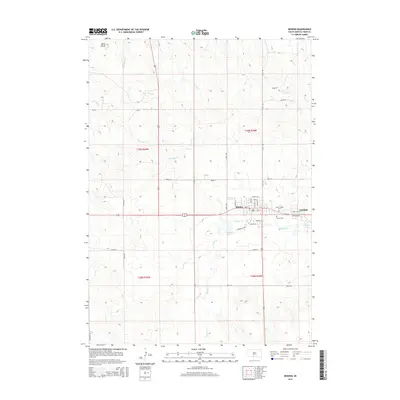
2015 Map of Mission
USGS Topo · Published 2015About this map
The community of Mission serves as a central hub in Todd County, situated within the Rosebud Indian Reservation. The landscape is defined by the drainage of Antelope Cr and Little Oak Cr, which flow through a series of subtle rises and prominent landmarks like Table Butte. To the east, the settlement of Antelope sits near the shores of Antelope Lake, while Mission Lake provides a notable water feature south of the primary townsite. This 2015 survey details the local street grid, including Omaha St and Dakota St, alongside community sites such as Saint Thomas Cem and Trinity Cem. The map illustrates the intersection of rural agriculture and residential development, with various range and township lines like t39n r28w marking the expansive prairie terrain north toward Gee Lake.
Find a feature on this map
34 named features on this map. Tap any name to fly to it.
Don’t see what you’re looking for? This feature index may not catch every label — zoom into the map to look around manually.
Map Details
Editions of this 2015 Mission Map
This is the sole edition of this map. No revisions or reprints were ever made.
Other maps of this area

1955 · Martin
USGS Topo · 1:250,000

1958 · Martin
USGS Topo · 1:250,000

1969 · Soldier Creek NE
USGS Topo · 1:24,000

1969 · Mission NW
USGS Topo · 1:24,000

1969 · Mission
USGS Topo · 1:24,000

1969 · Soldier Creek SE
USGS Topo · 1:24,000

1969 · Olsonville NW
USGS Topo · 1:24,000

1969 · Rosebud
USGS Topo · 1:24,000

1982 · Mission NE
USGS Topo · 1:24,000

1982 · Olsonville
USGS Topo · 1:24,000
Featured Places
- Rosebud, SD
- Mission, Antelope Segment
- Antelope Segment, SD
- Antelope, Antelope Segment
- Antelope Development Area, Antelope Segment