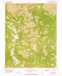
1955 Map of Mississippi Creek
USGS Topo · Published 1964About this map
The Diabolo Range wilderness within Henry W Coe State Park is defined by its complex network of seasonal drainages and steep ridges as they appeared in the mid-1950s. The landscape is dominated by the canyons of Mississippi Creek, Pacheco Creek, and the East Fork Coyote Creek, where topography rises sharply toward summits like Bear Mtn. Settlement remains sparse and restricted to natural clearings such as Poverty Flat and Paradise Flat, reflecting the area's transition from cattle ranching to public conservation. Evidence of modern infrastructure is limited to the Radio Relay Sta and a network of fire trails and ridges including Rock House Ridge and Blue Ridge. Notable local landmarks like Manzanita Point and Hoover Lake serve as key navigational markers in this remote section of the Santa Clara and Stanislaus county borderlands.
Find a feature on this map
26 named features on this map. Tap any name to fly to it.
Don’t see what you’re looking for? This feature index may not catch every label — zoom into the map to look around manually.
Map Details
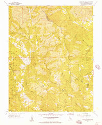
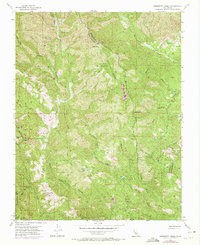
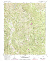
Editions of this 1955 Mississippi Creek Map
4 editions found
Other maps of this area

1897 · Mt. Hamilton
USGS Topo · 1:62,500

1917 · Morgan Hill
USGS Topo · 1:62,500

1921 · Gilroy Hot Springs
USGS Topo · 1:62,500

1938 · Mt. Boardman
USGS Topo · 1:62,500

1939 · Morgan Hill
USGS Topo · 1:62,500

1939 · Gilroy Hot Springs
USGS Topo · 1:62,500

1940 · Gilroy Hot Springs
USGS Topo · 1:62,500

1941 · Morgan Hill
USGS Topo · 1:62,500

1942 · Mt. Hamilton
USGS Topo · 1:62,500

1942 · Mt. Boardman
USGS Topo · 1:62,500