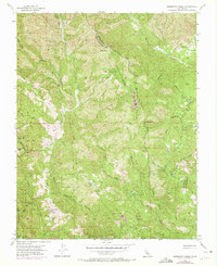
1955 Map of Mississippi Creek
USGS Topo · Published 1972About this map
Henry W Coe State Park encompasses a significant portion of this terrain along the rugged border of Stanislaus and Santa Clara counties. The landscape is defined by its complex drainage network, where the headwaters of Mississippi Creek and its South Fork intersect with the steep relief of Bear Mtn and Grassy Ridge. This mid-century survey, updated in the early 1970s, captures the primitive access routes that existed before modern park development, showing a network of jeep trails winding through landmarks like Poverty Flat and Manzanita Point. Water sources such as Hoover Lake and Bear Springs appear as isolated markers in a landscape otherwise dominated by the sharp elevation changes of Rock House Ridge and the Willow Ridge divide. The map provides a detailed record of this ranching and wildland area during a period of transition into protected state park land.
Find a feature on this map
31 named features on this map. Tap any name to fly to it.
Don’t see what you’re looking for? This feature index may not catch every label — zoom into the map to look around manually.
Map Details
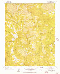
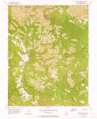
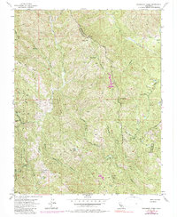
Editions of this 1955 Mississippi Creek Map
4 editions found
Other maps of this area

1897 · Mt. Hamilton
USGS Topo · 1:62,500

1917 · Morgan Hill
USGS Topo · 1:62,500

1921 · Gilroy Hot Springs
USGS Topo · 1:62,500

1938 · Mt. Boardman
USGS Topo · 1:62,500

1939 · Morgan Hill
USGS Topo · 1:62,500

1939 · Gilroy Hot Springs
USGS Topo · 1:62,500

1940 · Gilroy Hot Springs
USGS Topo · 1:62,500

1941 · Morgan Hill
USGS Topo · 1:62,500

1942 · Mt. Hamilton
USGS Topo · 1:62,500

1942 · Mt. Boardman
USGS Topo · 1:62,500