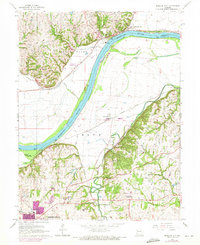
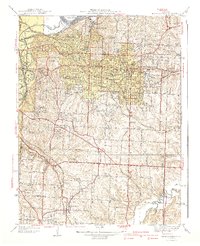
1965 Map of Missouri City
USGS Topo · Published 1971About this map
Fort Osage overlooks a sharp bend in the Missouri River, anchoring a landscape where historical military outposts and river-and-rail industry converge. On the northern bank, Missouri City sits along the Norfolk and Western Railway, while across the water, the floodplain around Atherton is bisected by the Atchison Topeka and Santa Fe railroad. The map documents several rural congregations and family burial grounds, including New Salem Church, Sixmile Church, and Franklin Cemetery.
Find a feature on this map
49 named features on this map. Tap any name to fly to it.
Don’t see what you’re looking for? This feature index may not catch every label — zoom into the map to look around manually.
Map Details
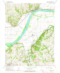
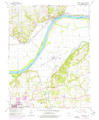
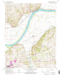
Editions of this 1965 Missouri City Map
4 editions found
Other maps of this area

1894 · Independence
USGS Topo · 1:125,000

1933 · Blue Springs
USGS Topo · 1:24,000

1934 · Oak Grove
USGS Topo · 1:24,000

1934 · Independence
USGS Topo · 1:24,000

1935 · Buckner
USGS Topo · 1:24,000

1935 · Missouri City
USGS Topo · 1:24,000

1935 · Liberty
USGS Topo · 1:24,000

1936 · Kearney
USGS Topo · 1:48,000

1940 · Liberty
USGS Topo · 1:31,680
1940 · Independence
USGS Topo · 1:31,680