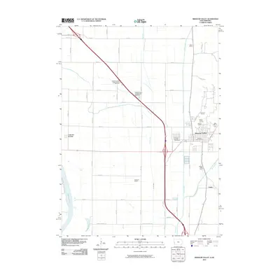
2010 Map of Missouri Valley
USGS Topo · Published 2010About this map
Missouri Valley serves as the primary hub in this Harrison County landscape, where the flat alluvial plains of the Boyer River meet the western Iowa bluffs. The town's grid is established around key local institutions like the Missouri Valley Post Office and the Harrison County Fairground, while its northern edge is defined by a cluster of local burial grounds including Old Frazier Cemetery, Mount Carmel Cemetery, and Rose Hill Cemetery. The western portion of the map is dominated by the Missouri River valley's lowlands, featuring oxbow water bodies such as De Soto Lake and Nobles Lake. This 2010 survey illustrates a region where transportation infrastructure, including the Missouri Valley Airport and the rail-oriented settlement of California Junction, integrates with an extensive agricultural drainage network consisting of Allen Creek, Willow Creek, and the Wilson Ditch. Small nodes like Findley represent the dispersed nature of local commerce along these historic waterways and roads.
Find a feature on this map
53 named features on this map. Tap any name to fly to it.
Don’t see what you’re looking for? This feature index may not catch every label — zoom into the map to look around manually.
Map Details
Editions of this 2010 Missouri Valley Map
This is the sole edition of this map. No revisions or reprints were ever made.
Other maps of this area

1893 · Omaha
USGS Topo · 1:62,500

1893 · Fremont
USGS Topo · 1:125,000

1896 · Fremont
USGS Topo · 1:125,000

1954 · Omaha
USGS Topo · 1:250,000

1955 · Fremont
USGS Topo · 1:250,000

1957 · Fremont
USGS Topo · 1:250,000

1957 · Omaha
USGS Topo · 1:250,000

1957 · Loveland
USGS Topo · 1:24,000

1957 · Honey Creek
USGS Topo · 1:24,000

1958 · Omaha
USGS Topo · 1:250,000