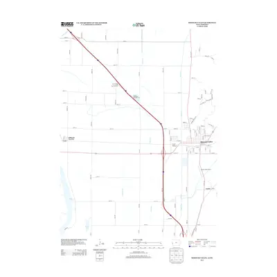
2013 Map of Missouri Valley
USGS Topo · Published 2013About this map
Missouri Valley serves as a central hub in this Harrison County landscape, where the flat alluvial plains of the Missouri River valley meet the distinctive rises of the Loess Hills Trl. The geography is defined by an extensive network of drainage features like Modale Ditch, Wilson Ditch, and the winding Boyer River, all supporting the region's agricultural productivity. To the west, the oxbow waters of DeSoto Lake and Nobles Lake indicate the river's historic shifts and natural borders.
Find a feature on this map
92 named features on this map. Tap any name to fly to it.
Don’t see what you’re looking for? This feature index may not catch every label — zoom into the map to look around manually.
Map Details
Editions of this 2013 Missouri Valley Map
This is the sole edition of this map. No revisions or reprints were ever made.
Other maps of this area

1893 · Omaha
USGS Topo · 1:62,500

1893 · Fremont
USGS Topo · 1:125,000

1896 · Fremont
USGS Topo · 1:125,000

1954 · Omaha
USGS Topo · 1:250,000

1955 · Fremont
USGS Topo · 1:250,000

1957 · Fremont
USGS Topo · 1:250,000

1957 · Omaha
USGS Topo · 1:250,000

1957 · Loveland
USGS Topo · 1:24,000

1957 · Honey Creek
USGS Topo · 1:24,000

1958 · Omaha
USGS Topo · 1:250,000