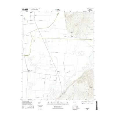
2016 Map of Miston
USGS Topo · Published 2016About this map
Ridgely and Bogota serve as the primary hubs in this western Tennessee landscape, where the flat, agricultural plains of the Mississippi River basin meet the rising bluffs to the east. The Obion River snakes through the southern portion of the quadrangle, while Running Reelfoot Bayou defines much of the northern drainage. This 2016 survey illustrates a meticulously organized rural infrastructure, with roads like Sycamore Corner Loop and Pattenson Rd partitioning the fertile lowlands.
Find a feature on this map
76 named features on this map. Tap any name to fly to it.
Don’t see what you’re looking for? This feature index may not catch every label — zoom into the map to look around manually.
Map Details
Editions of this 2016 Miston Map
This is the sole edition of this map. No revisions or reprints were ever made.
Other maps of this area

1925 · Reelfoot Lake
USGS Topo · 1:62,500

1939 · Reelfoot Lake
USGS Topo · 1:62,500

1939 · Portageville
USGS Topo · 1:62,500

1939 · Dyersburg
USGS Topo · 1:62,500

1939 · Caruthersville
USGS Topo · 1:62,500

1951 · Caruthersville
USGS Topo · 1:62,500

1952 · Newbern
USGS Topo · 1:24,000

1952 · Lane
USGS Topo · 1:24,000

1952 · Dyersburg
USGS Topo · 1:24,000

1952 · Miston
USGS Topo · 1:24,000