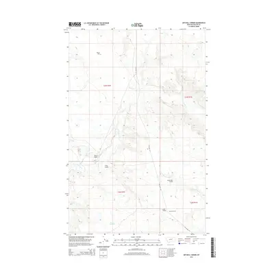
2014 Map of Mitchell Corner
USGS Topo · Published 2014About this map
Mitchell Corner anchors this section of Phillips County, where the high plains of north-central Montana are defined by a network of drainage channels and cattle-country infrastructure. The terrain is marked by significant topographical depressions and seasonal water features, including Alkali Flat in the northwest and Puckett Reservoir toward the south. The movement of water across this arid landscape has carved numerous distinct coulees, most notably Nelson Coulee, Camp Coulee, and Seven Mile Coulee.
Find a feature on this map
14 named features on this map. Tap any name to fly to it.
Don’t see what you’re looking for? This feature index may not catch every label — zoom into the map to look around manually.
Map Details
Editions of this 2014 Mitchell Corner Map
This is the sole edition of this map. No revisions or reprints were ever made.
Other maps of this area

1954 · Jordan
USGS Topo · 1:250,000

1954 · Glasgow
USGS Topo · 1:250,000

1956 · Jordan
USGS Topo · 1:250,000

1957 · Glasgow
USGS Topo · 1:250,000

1958 · Glasgow
USGS Topo · 1:250,000

1958 · Jordan
USGS Topo · 1:250,000

1964 · Jordan
USGS Topo · 1:250,000

1965 · Whitcomb Lake
USGS Topo · 1:24,000

1965 · Sheep Coulee
USGS Topo · 1:24,000
1965 · Emond Ranch
USGS Topo · 1:24,000