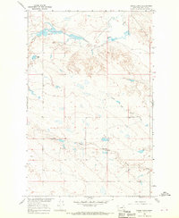
1965 Map of Emond Ranch
USGS Topo · Published 1970About this map
Regina PO serves as a lonely landmark in this 1965 survey of Phillips County, where the landscape is defined by the winding drainages of Beaver Creek and the southern flow of First Creek. The map documents a sparse ranching environment, capturing the specific locations of family-named sites like the Emond Ranch and the Peigneux Ranch. This area, mapped as part of the Department of the Interior's Missouri River Basin development program, illustrates the isolation and essential water-reliance of mid-century Montana plains life.
Find a feature on this map
9 named features on this map. Tap any name to fly to it.
Don’t see what you’re looking for? This feature index may not catch every label — zoom into the map to look around manually.
Map Details
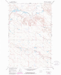
Editions of this 1965 Emond Ranch Map
2 editions found
Other maps of this area

1953 · Havre
USGS Topo · 1:250,000

1954 · Jordan
USGS Topo · 1:250,000

1954 · Glasgow
USGS Topo · 1:250,000

1954 · Lewistown
USGS Topo · 1:250,000

1956 · Jordan
USGS Topo · 1:250,000

1957 · Glasgow
USGS Topo · 1:250,000

1957 · Havre
USGS Topo · 1:250,000

1958 · Glasgow
USGS Topo · 1:250,000

1958 · Jordan
USGS Topo · 1:250,000

1958 · Havre
USGS Topo · 1:250,000