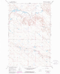
1965 Map of Emond Ranch
USGS Topo · Published 1987About this map
Old Whitcomb Place and other family-named landholdings sit within this remote stretch of Phillips County, where the plains meet the winding path of Beaver Creek. The landscape is defined by the drainage networks of First Creek and its tributary, the North Fork First Creek, which carve through the northern Montana terrain. Developed as part of the Department of the Interior's program for the Missouri River Basin, this record shows the sparse ranching infrastructure of the mid-1960s, including the Emond Ranch, the Peigneux Ranch, and the isolated Regina PO. A lone Landing Strip and scattered Well sites illustrate the logistical reality of working large-scale acreage in the High Plains during this era. Revisions from the early 1980s are integrated into the sheet, providing a comparison of rural development over two decades.
Find a feature on this map
9 named features on this map. Tap any name to fly to it.
Don’t see what you’re looking for? This feature index may not catch every label — zoom into the map to look around manually.
Map Details
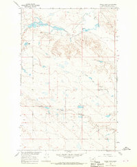
Editions of this 1965 Emond Ranch Map
2 editions found
Other maps of this area

1953 · Havre
USGS Topo · 1:250,000

1954 · Jordan
USGS Topo · 1:250,000

1954 · Glasgow
USGS Topo · 1:250,000

1954 · Lewistown
USGS Topo · 1:250,000

1956 · Jordan
USGS Topo · 1:250,000

1957 · Glasgow
USGS Topo · 1:250,000

1957 · Havre
USGS Topo · 1:250,000

1958 · Glasgow
USGS Topo · 1:250,000

1958 · Jordan
USGS Topo · 1:250,000

1958 · Havre
USGS Topo · 1:250,000