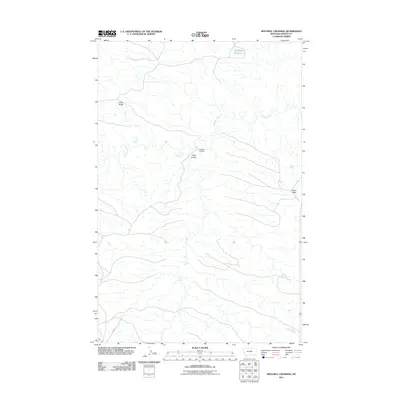
2011 Map of Mitchell Crossing
USGS Topo · Published 2011About this map
Armells Creek meanders through this section of Fergus County, forming a complex network of drainage patterns across the central Montana landscape. The settlement at Mitchell Crossing sits near the confluence of Fargo Coulee, where the drainage system meets the main creek bed. To the northwest, the prominent elevation of Knox Ridge provides a clear view of the surrounding plains, while the high point of Indian Butte stands out on the eastern edge of the quadrangle. The northern reaches are punctuated by the Flat Top Reservoir, reflecting the water management necessary for this arid environment. Transportation through this remote terrain is limited, primarily anchored by Mabee Rd in the southwest corner, which connects the isolated drainage basins to the broader region.
Find a feature on this map
7 named features on this map. Tap any name to fly to it.
Don’t see what you’re looking for? This feature index may not catch every label — zoom into the map to look around manually.
Map Details
Editions of this 2011 Mitchell Crossing Map
This is the sole edition of this map. No revisions or reprints were ever made.
Other maps of this area

1943 · Landusky
USGS Topo · 1:125,000

1954 · Hessler Ridge
USGS Topo · 1:24,000

1954 · Baker Monument
USGS Topo · 1:24,000

1954 · Bell Ridge West
USGS Topo · 1:24,000

1954 · Grand Island
USGS Topo · 1:24,000

1954 · Lewistown
USGS Topo · 1:250,000

1959 · Lewistown
USGS Topo · 1:250,000

1984 · Zortman
USGS Topo · 1:100,000

1985 · Griffee Coulee
USGS Topo · 1:24,000

1985 · Thompson Coulee
USGS Topo · 1:24,000