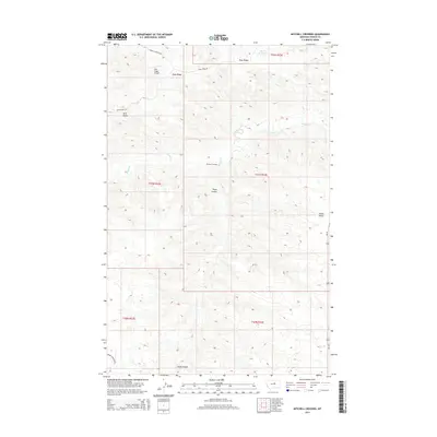
2014 Map of Mitchell Crossing
USGS Topo · Published 2014About this map
Knox Ridge dominates the northern horizon of this central Montana landscape, where the high plains transition into a series of drainage basins and distinct topographic markers. The namesake Mitchell Crossing is situated along the winding course of Armells Cr, a waterway that carves through the terrain as it flows toward the north. This region is characterized by significant natural landmarks such as Indian Butte and the elongated Fargo Coulee, which provides a geographical corridor through the township sections. Transportation and infrastructure are concentrated in the north and east, marked by the Knox Ridge Airport and the path of Us-191. The map reveals a sparsely populated ranching and aviation landscape, defined by the grid of the Public Land Survey System and isolated water sources like Flat Top Reservoir.
Find a feature on this map
16 named features on this map. Tap any name to fly to it.
Don’t see what you’re looking for? This feature index may not catch every label — zoom into the map to look around manually.
Map Details
Editions of this 2014 Mitchell Crossing Map
This is the sole edition of this map. No revisions or reprints were ever made.
Other maps of this area

1943 · Landusky
USGS Topo · 1:125,000

1954 · Hessler Ridge
USGS Topo · 1:24,000

1954 · Baker Monument
USGS Topo · 1:24,000

1954 · Bell Ridge West
USGS Topo · 1:24,000

1954 · Grand Island
USGS Topo · 1:24,000

1954 · Lewistown
USGS Topo · 1:250,000

1959 · Lewistown
USGS Topo · 1:250,000

1984 · Zortman
USGS Topo · 1:100,000

1985 · Griffee Coulee
USGS Topo · 1:24,000

1985 · Thompson Coulee
USGS Topo · 1:24,000