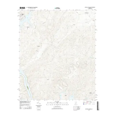
2014 Map of Mitchell Dam NW
USGS Topo · Published 2014About this map
The Coosa River corridor in Alabama, winding along the boundary of Chilton and Coosa Counties, is defined by the significant impoundments of Lay Lake and Mitchell Lake. The landscape transition from the water's edge into the higher elevations of the Weogufka Mountains creates a varied terrain where small communities like Sehoya and Quinsey are situated among numerous drainages, including Weogufka Creek and Clay Cr. Local family history is preserved in several small burial sites tucked into the hills, such as Duke Cem, Jennings Cem, and the Ham Lewis Cem near the river bend.
Find a feature on this map
33 named features on this map. Tap any name to fly to it.
Don’t see what you’re looking for? This feature index may not catch every label — zoom into the map to look around manually.
Map Details
Editions of this 2014 Mitchell Dam NW Map
This is the sole edition of this map. No revisions or reprints were ever made.
Other maps of this area

1890 · Bessemer
USGS Topo · 1:125,000

1890 · Talladega
USGS Topo · 1:125,000

1891 · Clanton
USGS Topo · 1:125,000

1892 · Talladega
USGS Topo · 1:125,000

1892 · Bessemer
USGS Topo · 1:125,000

1901 · Wetumpka
USGS Topo · 1:125,000

1903 · Wetumpka
USGS Topo · 1:125,000

1909 · Columbiana
USGS Topo · 1:62,500

1911 · Columbiana
USGS Topo · 1:62,500

1915 · Gantts Quarry
USGS Topo · 1:48,000