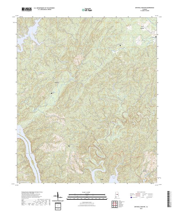
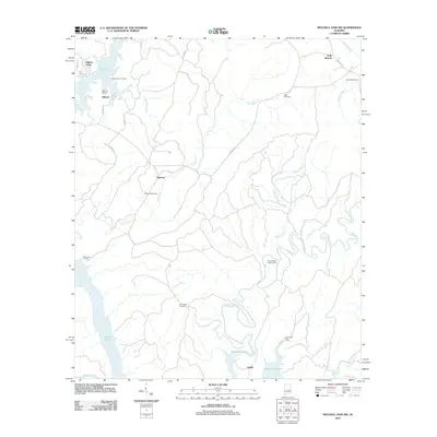
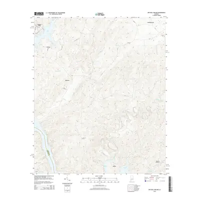
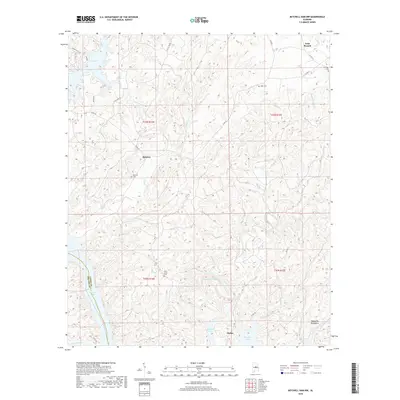
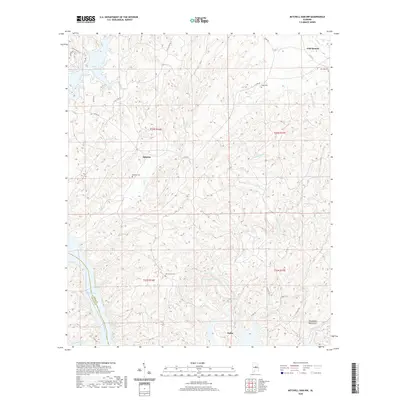
2024 Map of Mitchell Dam NW
USGS Topo · Published 2024About this map
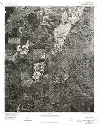
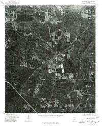
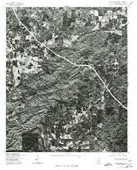
Mitchell Lake and Lay Lake dominate the western edge of this Coosa County landscape, where the waters of the Coosa River system meet a rugged interior of ridges and creek valleys. Small settlements such as Quinsey and Dollar are situated among the winding drainages of Weogufka Creek and Clay Creek. The topography rises sharply toward the Weogufka Mountains in the southeast, a distinctive highland area that shapes the local watershed.
Find a feature on this map
34 named features on this map. Tap any name to fly to it.
Don’t see what you’re looking for? This feature index may not catch every label — zoom into the map to look around manually.
Map Details
Editions of this 2024 Mitchell Dam NW Map
This is the sole edition of this map. No revisions or reprints were ever made.
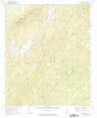
Historical Maps of Gold Branch Through Time
27 maps found
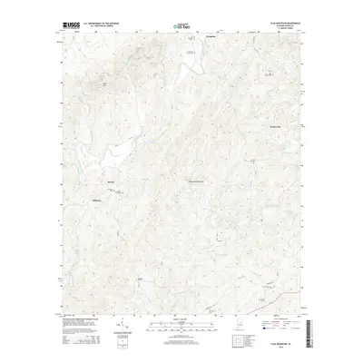
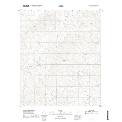
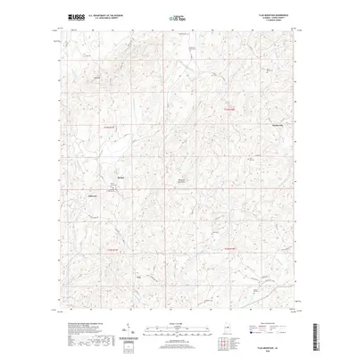
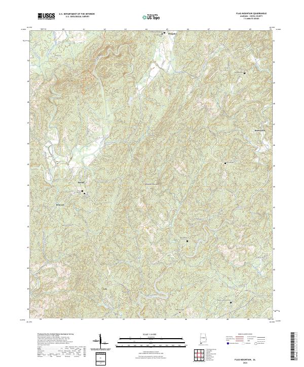
1971 Flag Mountain
Coosa County, AL

1971 Mitchell Dam NW
Coosa County, AL
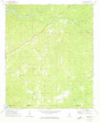
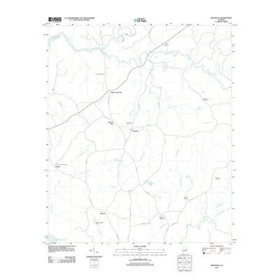
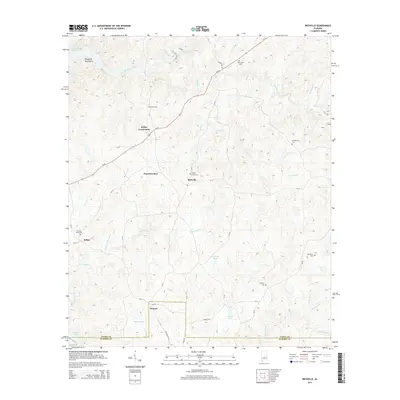
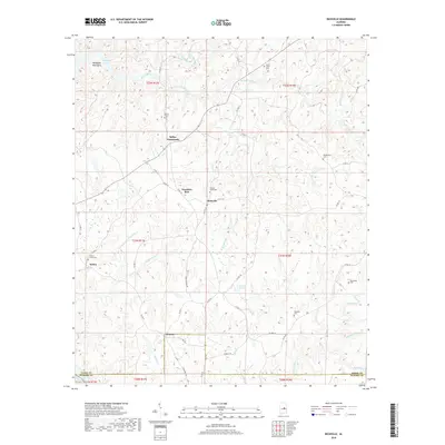
1971 Richville
Coosa County, AL
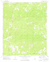
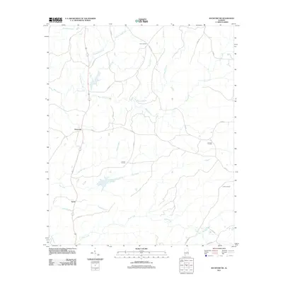
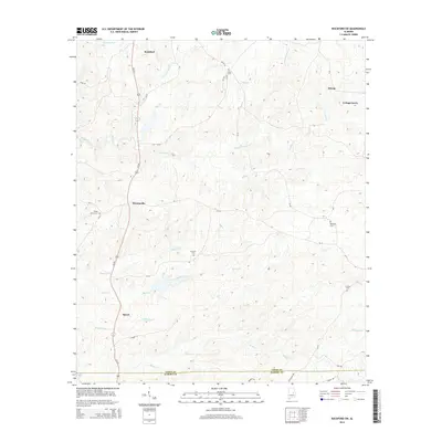
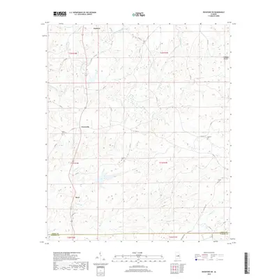
1971 Rockford SW
Coosa County, AL
1975 Gantts Quarry SW
Coosa County, AL
1975 Goodwater SE
Coosa County, AL
1975 Goodwater SW
Coosa County, AL
2011 Flag Mountain
Coosa County, AL
2011 Mitchell Dam NW
Coosa County, AL
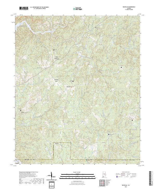
2011 Richville
Coosa County, AL
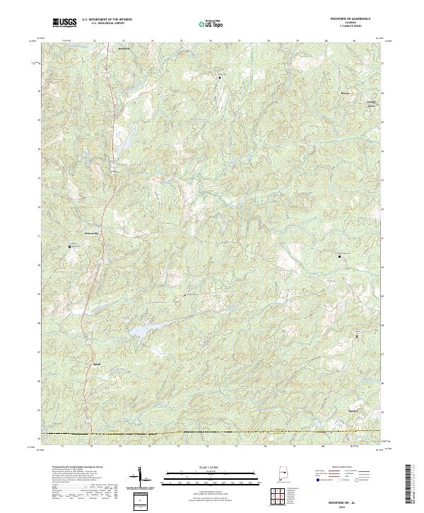
2011 Rockford SW
Coosa County, AL
2014 Flag Mountain
Coosa County, AL
2014 Mitchell Dam NW
Coosa County, AL
2014 Richville
Coosa County, AL
2014 Rockford SW
Coosa County, AL
2018 Flag Mountain
Coosa County, AL
2018 Mitchell Dam NW
Coosa County, AL
2018 Richville
Coosa County, AL
2018 Rockford SW
Coosa County, AL
2020 Flag Mountain
Coosa County, AL
2020 Mitchell Dam NW
Coosa County, AL
2020 Richville
Coosa County, AL
2020 Rockford SW
Coosa County, AL
2024 Flag Mountain
Coosa County, AL
2024 Mitchell Dam NW
Coosa County, AL
2024 Richville
Coosa County, AL
2024 Rockford SW
Coosa County, AL