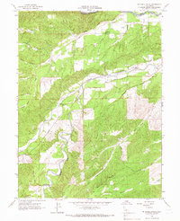
1965 Map of Mitchell Gulch
USGS Topo · Published 1966About this map
Cottonwood Creek and its complex network of tributaries define this landscape along the border of Shasta and Tehama counties. In the mid-1960s, the area's rural character is marked by a scattering of local institutions, including Evergreen Sch, Farquhar Sch, and Bowman Sch. These schools, paired with family-named infrastructure like Farquhar Road and Luce Griswold Road, reflect a long-standing ranching or agricultural community layout. The terrain is deeply incised by numerous gulches, such as Mobley Gulch and China Gulch, which feed into the South Fork Cottonwood Creek. Vital resource management is represented by the Baker Fire Control Station in the southwest, while more remote reaches are accessed via the Weed Trail and Private Road. This map provides a clear record of the watershed's topographical details before significant modern development altered the region.
Find a feature on this map
38 named features on this map. Tap any name to fly to it.
Don’t see what you’re looking for? This feature index may not catch every label — zoom into the map to look around manually.
Map Details
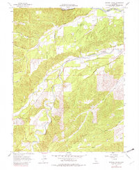
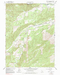
Editions of this 1965 Mitchell Gulch Map
3 editions found
Other maps of this area

1890 · Red Bluff
USGS Topo · 1:250,000

1894 · Red Bluff
USGS Topo · 1:250,000

1932 · Olinda
USGS Topo · 1:31,680

1935 · Olinda
USGS Topo · 1:31,680

1947 · Anderson
USGS Topo · 1:62,500

1948 · Anderson
USGS Topo · 1:62,500

1949 · Colyear Springs
USGS Topo · 1:62,500

1951 · Red Bluff West
USGS Topo · 1:24,000

1952 · Blossom
USGS Topo · 1:24,000

1952 · Ono
USGS Topo · 1:62,500