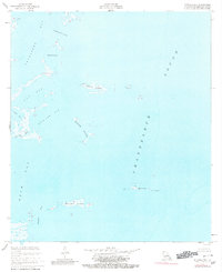
1955 Map of Mitchell Key
USGS Topo · Published 1980About this map
Mitchell Key Light stands as a primary navigational aid in this coastal stretch of St. Bernard Parish, guiding maritime traffic through the open waters of Chandeleur Sound. The area is defined by a complex network of marshy islands and shallow bays, reflecting the precarious land-water balance of the Louisiana delta. Large inlets such as Cranetown Bay and Drum Bay are separated by narrow landforms like Mitchell Island and the smaller Holmes Islands. The presence of features like Live Oak Bayou and Redfish Bend illustrates a landscape where tidal flows and shifting sedimentation dictate the local geography. This survey provides a precise record of the shoreline before decades of coastal erosion and subsidence significantly altered these outer reaches, making it a critical reference for understanding the historical extent of the Louisiana marshlands.
Find a feature on this map
16 named features on this map. Tap any name to fly to it.
Don’t see what you’re looking for? This feature index may not catch every label — zoom into the map to look around manually.
Map Details
Editions of this 1955 Mitchell Key Map
2 editions found
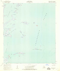
Other maps of this area

1893 · Cat Island
USGS Topo · 1:62,500

1893 · Chandeleur
USGS Topo · 1:62,500

1893 · Toulme
USGS Topo · 1:62,500

1895 · Bodreau
USGS Topo · 1:62,500

1935 · Morgan Harbor
USGS Topo · 1:31,680

1935 · Mitchell Keys
USGS Topo · 1:31,680

1946 · Oak Mound Bayou
USGS Topo · 1:31,680
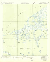
1949 · Drum Bay
USGS Topo · 1:31,680
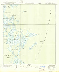
1949 · Door Point
USGS Topo · 1:31,680

1953 · Mobile
USGS Topo · 1:250,000