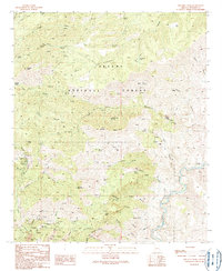
1989 Map of Mitchell Peak
USGS Topo · Published 1990About this map
Apache National Forest dominates this landscape in Greenlee County, characterized by a complex network of canyons and high-elevation landforms. The terrain rises to Mitchell Peak and stretches across the wide Prieto Plateau, while the southeastern corner is defined by the winding course of the San Francisco River. This area is a patchwork of hydrological features and early resource extraction, marked by numerous Springs such as Coronado Spring and Sycamore Springs that supported both wildlife and early travelers.
Find a feature on this map
63 named features on this map. Tap any name to fly to it.
Don’t see what you’re looking for? This feature index may not catch every label — zoom into the map to look around manually.
Map Details
Editions of this 1989 Mitchell Peak Map
This is the sole edition of this map. No revisions or reprints were ever made.
Other maps of this area

1902 · Clifton
USGS Topo · 1:62,500

1913 · Morenci
USGS Topo · 1:125,000

1915 · Morenci
USGS Topo · 1:125,000

1954 · Clifton
USGS Topo · 1:250,000

1957 · Clifton
USGS Topo · 1:250,000

1958 · Clifton
USGS Topo · 1:250,000

1962 · Clifton
USGS Topo · 1:250,000

1962 · Clifton
USGS Topo · 1:62,500

1962 · Big Lue Mts
USGS Topo · 1:62,500
1967 · Bee Canyon
USGS Topo · 1:24,000