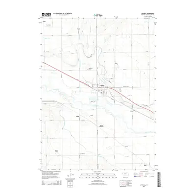
2014 Map of Mitchell
USGS Topo · Published 2014About this map
The North Platte River carves a braided path through this Nebraska agricultural landscape, defining the geographic and economic heart of the region. Irrigation infrastructure is the defining human footprint here, with the Tri-State Canal, Enterprise Canal, and Mitchell and Gering Canal flanking the river valley to support the surrounding fields. The city of Mitchell serves as the primary hub, situated north of the river and south of the high ground known as Dutch Flats.
Find a feature on this map
67 named features on this map. Tap any name to fly to it.
Don’t see what you’re looking for? This feature index may not catch every label — zoom into the map to look around manually.
Map Details
Editions of this 2014 Mitchell Map
This is the sole edition of this map. No revisions or reprints were ever made.
Other maps of this area

1898 · Scotts Bluff
USGS Topo · 1:125,000

1899 · Whistle Creek
USGS Topo · 1:125,000

1954 · Scottsbluff
USGS Topo · 1:250,000

1955 · Alliance
USGS Topo · 1:250,000

1957 · Alliance
USGS Topo · 1:250,000

1958 · Alliance
USGS Topo · 1:250,000

1958 · Scottsbluff
USGS Topo · 1:250,000

1960 · Stegall
USGS Topo · 1:24,000

1963 · Scottsbluff South
USGS Topo · 1:24,000

1963 · Mitchell
USGS Topo · 1:24,000