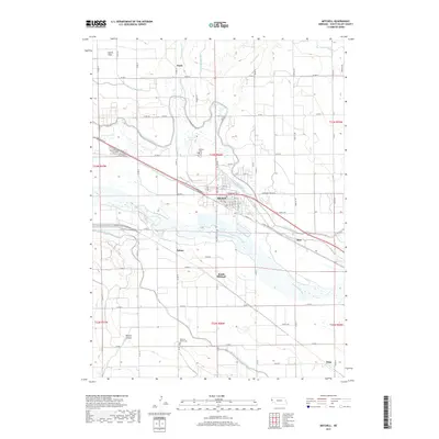
2017 Map of Mitchell
USGS Topo · Published 2017About this map
The North Platte River serves as the central artery for this Scotts Bluff County landscape, where an intricate network of irrigation systems sustains the High Plains agriculture. Water management features like the Tri-State Canal, Enterprise Canal, and Mitchell and Gering Canal crisscross the terrain, enabling the region's productive farming. The settlement of Mitchell occupies the heart of this grid, flanked by secondary hubs like South Mitchell and Pelton.
Find a feature on this map
68 named features on this map. Tap any name to fly to it.
Don’t see what you’re looking for? This feature index may not catch every label — zoom into the map to look around manually.
Map Details
Editions of this 2017 Mitchell Map
This is the sole edition of this map. No revisions or reprints were ever made.
Other maps of this area

1898 · Scotts Bluff
USGS Topo · 1:125,000

1899 · Whistle Creek
USGS Topo · 1:125,000

1954 · Scottsbluff
USGS Topo · 1:250,000

1955 · Alliance
USGS Topo · 1:250,000

1957 · Alliance
USGS Topo · 1:250,000

1958 · Alliance
USGS Topo · 1:250,000

1958 · Scottsbluff
USGS Topo · 1:250,000

1960 · Stegall
USGS Topo · 1:24,000

1963 · Scottsbluff South
USGS Topo · 1:24,000

1963 · Mitchell
USGS Topo · 1:24,000