Loading...
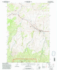
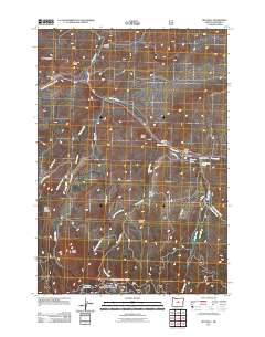
Loading map...1992 Map of Mitchell
USGS Topo · Published 1997About this map
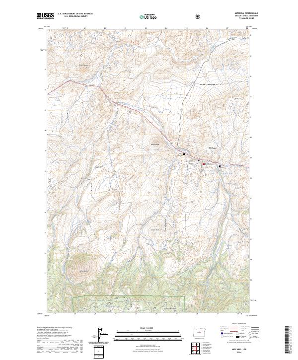
Mitchell occupies a narrow canyon corridor where Keyes Creek meets Bridge Creek in the early 1990s. The settlement's layout is closely constrained by the surrounding terrain, with the Corporate Boundary following the base of the ridges. To the south, the landscape rises sharply into the Ochoco National Forest and the protected Bridge Creek Wilderness, where a network of seasonal drainages like Nelson Creek and Five Minute Draw carve through the basalt-heavy topography.
Find a feature on this map
35 named features on this map. Tap any name to fly to it.
Don’t see what you’re looking for? This feature index may not catch every label — zoom into the map to look around manually.
Map Details
Date Portrayed1992
Date Published1997
PublisherU.S. Geological Survey
Map TypeTopographic
Scale1:24,000
Physical Dimensions22 x 26.9 inches
Editions of this 1992 Mitchell Map
This is the sole edition of this map. No revisions or reprints were ever made.
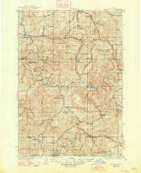
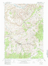
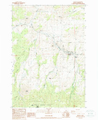
Historical Maps of Mitchell Through Time
9 maps found
Featured Locations
Source Details
SourceU.S. Geological Survey
CopyrightPublic Domain