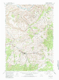
1966 Map of Mitchell
USGS Topo · Published 1985About this map
Mitchell stands as the primary hub in this central Oregon survey, situated at the junction of Bridge Creek and Keys Creek. The landscape is defined by massive topographic features, notably the heights of Sutton Mountain and Horse Mountain, which overlook a network of deep canyons like Dead Dog Canyon and Clark Canyon. To the north, the John Day River carves through the terrain near the settlement of Twickenham.
Find a feature on this map
63 named features on this map. Tap any name to fly to it.
Don’t see what you’re looking for? This feature index may not catch every label — zoom into the map to look around manually.
Map Details
Editions of this 1966 Mitchell Map
2 editions found

Other maps of this area

1926 · Mitchell
USGS Topo · 1:125,000

1932 · Dayville
USGS Topo · 1:125,000

1936 · Dayville
USGS Topo · 1:125,000

1951 · Lookout Mtn
USGS Topo · 1:62,500

1953 · Richmond
USGS Topo · 1:62,500

1953 · Spray
USGS Topo · 1:62,500

1955 · Bend
USGS Topo · 1:250,000

1955 · Canyon City
USGS Topo · 1:250,000

1957 · Bend
USGS Topo · 1:250,000

1958 · Bend
USGS Topo · 1:250,000