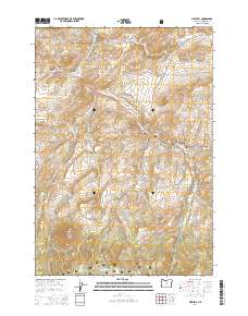
2014 Map of Mitchell
USGS Topo · Published 2014About this map
The town of Mitchell serves as a focal point in this 2014 survey of central Oregon, where the rugged terrain of the Ochco National Forest meets the high desert landscape. The town's local history is anchored by the Mitchell Cem and the Lower Mitchell Cem, while the surrounding geography is defined by a series of prominent peaks including Sargent Butte, Bailey Butte, and Juniper Butte. Water management and natural hydrology play a critical role in this arid environment, evidenced by the presence of Hall Ditch and Shoemaker Ditch, which divert water near the Bridge Cr drainage. Small-scale water features like Paynes Pond and Dollarhide Pond sit east of the main settlement, providing vital resources in a landscape characterized by deep drainages like Meyers Canyon and Black Chunk Canyon. This 2014 record captures the enduring intersection of livestock-era infrastructure and the dramatic geological formations of the Ochoco Mountains.
Find a feature on this map
39 named features on this map. Tap any name to fly to it.
Don’t see what you’re looking for? This feature index may not catch every label — zoom into the map to look around manually.
Map Details
Editions of this 2014 Mitchell Map
This is the sole edition of this map. No revisions or reprints were ever made.
Other maps of this area

1926 · Mitchell
USGS Topo · 1:125,000

1951 · Lookout Mtn
USGS Topo · 1:62,500

1955 · Bend
USGS Topo · 1:250,000

1957 · Bend
USGS Topo · 1:250,000

1958 · Bend
USGS Topo · 1:250,000

1966 · Peterson Point
USGS Topo · 1:24,000

1966 · Mt. Pisgah
USGS Topo · 1:24,000

1966 · Mitchell
USGS Topo · 1:62,500

1968 · Painted Hills
USGS Topo · 1:24,000

1968 · Lawson Mtn
USGS Topo · 1:24,000